Exercise and education awaits on ‘Mountie’

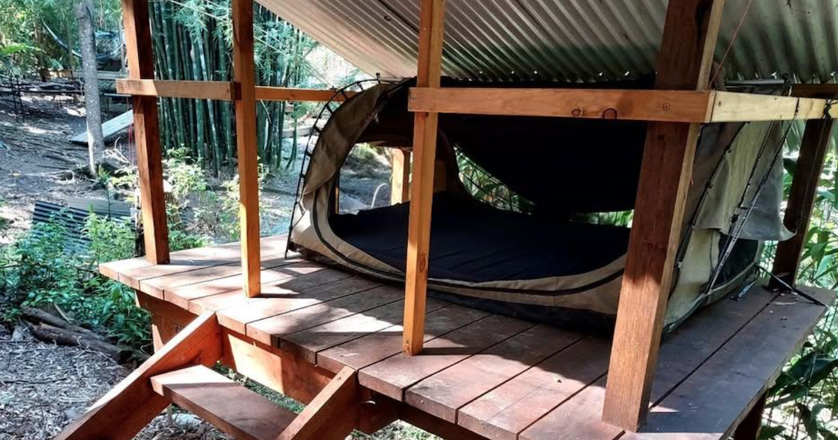
Bush landscape: Peady Street Reserve’s contours show signs of mining days gone by. Photo: EDWINA WILLIAMS
WITH the opportunity to get out and about a little more, residents may be looking for somewhere they can go to keep their bodies moving and minds stimulated.
Mount Pleasant History Group’s president, Max Duthie has an alternative suggestion to Lake Wendouree, encouraging exploration of his beloved “Mountie,” the oldest suburb of Ballarat.
“Mount Pleasant was settled for residential living sometime between 1853 and 1855. Cornish miners brought their families over the Whitehorse Range onto the gentle slopes of Mount Pleasant and settled them in tents there, while they walked back over the range to the mines in Canadian and Golden Point,” he said.
Almost 170 years on, seven signs have been installed around the suburb by the history group with funding from the City of Ballarat, to share stories of the area’s early development.
Accompanied by a brochure curated by historian, Dr Bill Garner, walkers can Discover Historic Mount Pleasant on foot as it suggests, stopping at up to 20 significant sites.
“The brochure, which contains a suburban map, supplements the signs and the tram mural which adorns the wall of Country Lane Furnishings on the corner of Barkly and Cobden streets, otherwise known as ‘shop corner,’” Mr Duthie said.
Brochures are available in weather-proof boxes at each sign. One is located near the corner of Barkly and Morton Streets at the top of Mount Pleasant Reserve.
“The Reserve itself has recently been refurbished with a playground and picnic area down on the corner of the oval itself, and a walking track around the perimeter of the playing field.

“You can park your car at the top corner of the reserve, read the information on the sign, check out the map, collect a brochure from the holder and then walk down to the playground and around the walking track, as many times as you are able, and back to your car,” Mr Duthie said.
“Alternatively, you may choose to park your car in Hill Street, opposite the site of the former Sunnyside Woollen Mill, and check out the group’s sign opposite the old mill entrance. From there you can walk along the newly installed fences, featuring historical people and activities, up to and along Humffray Street to Morton Street, to the reserve.”
Mr Duthie said the possibilities of walking routes in the suburb are “endless,” with other signs at the former Methodist or Uniting Church, the primary School, the observatory, Pearce’s Park and the tram mural.
“The very fit can walk around the whole of the suburb, while those who need to can drive to the sites. Above all, enjoy yourself, learn lots and get fit at the same time,” he said.
Please be mindful that many locations noted within Discover Historic Mount Pleasant are private properties.
Visit facebook.com/History-of-Mount-Pleasant-Ballarat-1700362523541241 or contact the Mount Pleasant History Group via [email protected].


