Catchment’s health in volunteer hands

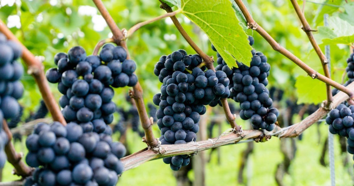
Leadership: Leigh Catchment Group supports its volunteer-powered network of Landcare teams to keep waterways and natural spaces at their best. Photo: JENNY RYLE


YOU may know of Landcare teams looking after their area’s natural environment, but did you know these committees are looked after by their own catchment group?
One of those in the Ballarat and Golden Plains Shire region is the Leigh Catchment Group, formed in 1997.
Nick McKinley, Yarrowee Leigh Catchment Group Landcare facilitator said the vision is to collaborate to achieve sustainable ecosystems and farmland.
The network includes Bamganie-Meredith, Garibaldi, Leigh Districts, Napoleons-Enfield, Ross Creek, Upper Williamson’s Creek, and Wattle Flat-Pootilla Landcare groups, Friends of the Canadian Corridor and Friends of Yarrowee River.
“The purpose of the group is to work together to ensure the preservation of natural heritage, sustainable agriculture, and communities,” he said.
“We ensure the ecologically sensitive restoration, development and maintenance of the Yarrowee-Leigh rivers, all tributaries, corridors and associated ecological communities within the Yarrowee Leigh Catchment group area, and support our community, network of Landcare groups, and community-based natural resource management groups.”
LCG spans 1580 square kilometres from Ballarat’s north, down to Inverleigh. Eight hundred and ninety square kilometres of that is Yarrowee-Leigh catchment area.
The Canadian Creek sub-catchment is within LCG’s waterways, including Pennyweight Gully, the No. 3 Channel, Specimen Vale and Warrenheip Gully. So is the urban sub-catchment; Little Bendigo Creek, Redan Creek, Water Street Drain, Black Hill Creek, Gnarr Creek, Gladstone Creek and Warrenheip Creek.
The mid-Yarrowee sub-catchment sees Buninyong Creek, Dog Trap Creek, Ross Creek and Winter Creek, while the lower-Yarrowee sub-catchment has Back Creek, Monmouth Gully and Williamsons Creek.
The Yarrowee turns into the Leigh at the Williamson Creek junction. Barwon River sub-catchments, Warrambine Creek, Native Hut Creek, Bruces Creek, and Lake Murdeduke sub-catchment, Mia Mia Creek are also within LGC’s area.
“The Leigh catchment contains a diverse range of topographic features, from gently undulating hills, wide valleys and river flats, to steep escarpments and rocky gorges,” Mr McKinley said.
“The catchment supports areas of significant remnant native vegetation including forests, woodlands, grasslands and wetlands occurring on private and public land.
“The Leigh River supports intact corridors of riparian vegetation with important fauna habitat values. Agriculture is the predominant land use in the catchment, but the urban and semi-urban areas of Ballarat are also a significant component of the catchment.”
With support from the State Government’s Landcare Facilitator Program, LCG has Mr McKinley as their part-time Landcare facilitator to activate the network, landholders and the wider catchment area’s community.
He also helps Landcare groups to sustainably manage their own team without needing to depend on the Catchment Group.
Projects that promote, protect and restore nature, and encourage productive, sustainable agriculture are encouraged.
In recent years, these initiatives have included the Scotsburn Phoenix Project which has seen the rehabilitation and protection of Scotsburn properties and bushland following fire, and the Waterways Incentive Program, funded by the Corangamite CMA to boost the health of rivers, and the properties and wetlands adjacent to them.
Share


Related Articles
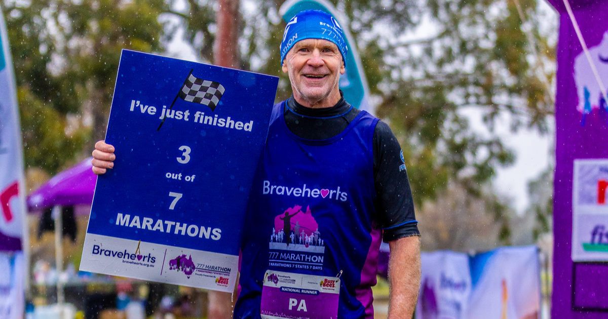
Big, brave runs for child safety
FOR 64-year-old marathon runner Peter Mahoney, it’s not about how…
Pub manager to cha-cha in gala performance
MORE at home pulling a beer than busting a move,…