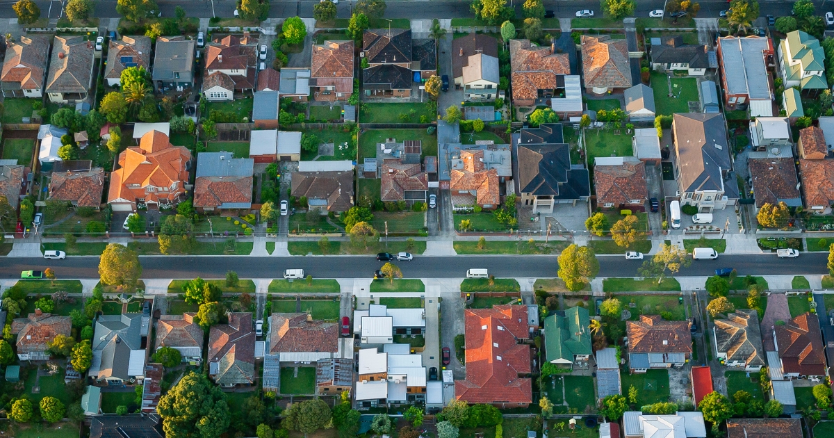
Town by town snapshot: Creswick


The size of Creswick is approximately 49.6 square kilometres and has 23 parks covering nearly 33.8 per cent of total area.
The population of Creswick in 2011 was 2,941 people and by the 2016 Census the population was 3,171 showing a population growth of 7.8 per cent in the area during that time.
Creswick is a former gold mining township 20 km north of Ballarat and is set in undulating ranges, partly forested, which formed an extensive goldfields area that was discovered during the early 1850s.
The settlement was named after the Creswick Creek pastoral run (1842), taken up by the brothers Henry, Charles and John Creswick.
In 1852 gold was discovered on Creswick Creek, most leads ran north of the future township site, but one ran southwards, just east of the town centre. A goldfields Commissioner, Walter Brackenbury, was appointed in December 1852, and his Commissioner’s Camp (Bridge Street) became the site of the Botanic Gardens.
In August 1854, a township survey was carried out, the year after the first school was opened.
Upwards of 25,000 miners were estimated to be in the Creswick area at peak mining times.
The census for 1861, however, recorded a population of 4714, which was to be the highest census figure ever. CoreLogic data indicates that the predominant age group in Creswick is 60-69 years with households in Creswick being primarily childless couples.
Share


Related Articles
Three ways to make your first home more affordable
BUILDING a new home in regional Victoria has never been…
Unlocking Your First Home: What the First Home Scheme Changes Mean for You
FROM 1st October, big changes to the Federal Government’s First…