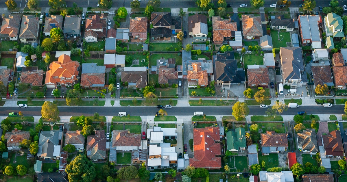
Town by town snapshot: Daylesford


The size of Daylesford is approximately 36.1 square kilometres and has 26 parks covering nearly 13.9 per cent of total area.
The population of Daylesford in 2011 was 2567 people and by the 2016 Census the population was 2566 showing a stagnant population in the area during that time.
The area was settled by the pastoral overlander John Hepburn in 1838 and known as the Jim Crow Ranges.
In June 1854 the town of Wombat was surveyed but was gazetted as Daylesford in August 1855.
In 1880 a railway was opened from Woodend via Trentham to Daylesford, connecting it to Melbourne. The winding, steep-graded railway line was closed at the Creswick end in 1953 and to Woodend in 1978.
Daylesford’s economy has been assisted by the proximity of Hepburn Springs which had a mineral water baths as well as a spa bottling plant. In 1977 the Department of Minerals and Energy surveyed spa water sources with recommended take-offs for preservation of supply, and a proposed royalty for harvesting.
The Hepburn Bath House was restored with State government assistance in 1984.
About 75 per cent of Victoria’s recorded mineral springs are in the Daylesford-Kyneton region, and Daylesford is marketed as the spa centre of Australia.
CoreLogic data indicates that the predominant age group in Daylesford is 60-69 years with households in Daylesford being primarily childless couples and are likely to be repaying $1400 – $1799 per month on mortgage repayments, and in general, people in Daylesford work in a professional occupation.
In 2011, 66.6 per cent of the homes in Daylesford were owner-occupied compared with 67.8 per cent in 2016.
Share


Related Articles
Three ways to make your first home more affordable
BUILDING a new home in regional Victoria has never been…
Unlocking Your First Home: What the First Home Scheme Changes Mean for You
FROM 1st October, big changes to the Federal Government’s First…