Flood study uses technology to map erosion hot spots and river health issues
Rous County Council has mapped areas of erosion and waterway issues in the Richmond River. Photo: Supplied.


ROUS County Council has mapped more than 1,600 landslides and widespread erosion across the Richmond River catchment using LiDAR data and post-flood analysis.
The work is part of a partnership with Griffith University aimed at restoring and protecting the river system.
The research, led by Griffith University professor Andrew Brooks, analysed historical LiDAR imagery alongside post-flood 2022 datasets to pinpoint areas of major geomorphic change.
The findings revealed an estimated 3.3 million cubic metres of erosion over the past decade, with significant impacts linked to major flood events in 2017 and 2022.
Rous catchment and cultural awareness manager Anthony Acret said sediment build-up from channel erosion remained one of the most serious threats to local waterways.
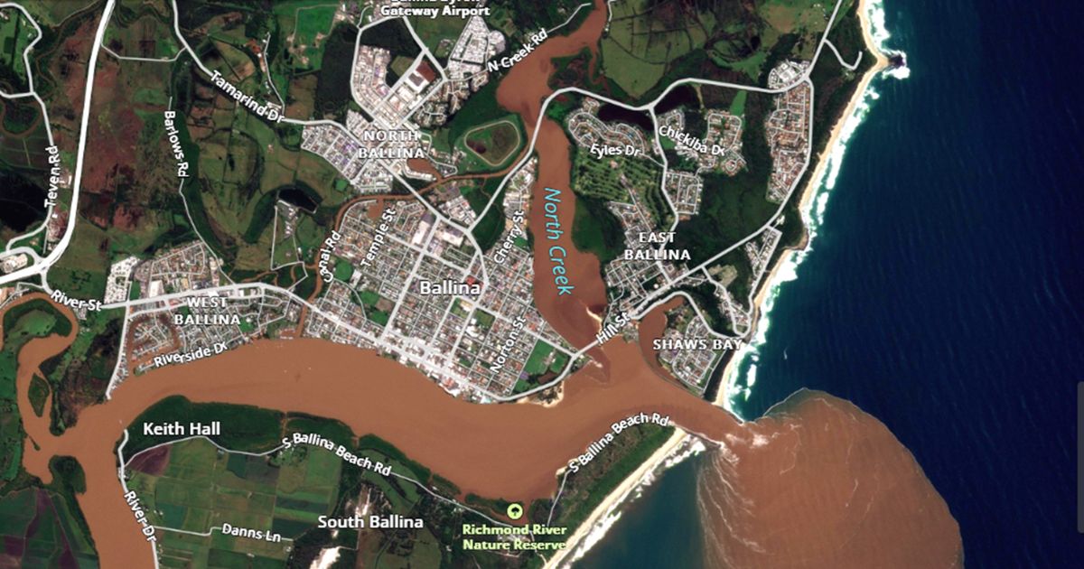
“When sediment flows into the rivers, it clouds the water and harms aquatic plants, fish, and overall water quality,” he said.
“Many residents of the Northern Rivers who have seen the Wilsons and Richmond Rivers after a rain event will recognise this muddy colour.”
“The study found most erosion is occurring in the upper and middle reaches of the catchment. These upstream impacts ultimately affect river and estuary health downstream.”
Practical solutions such as revegetation, improving soil health and stabilising riparian zones will play a key role in reducing erosion.
The project forms part of the Richmond River Coastal Management Program, a long-term strategy for the estuary.
Rous is working in partnership with the state government and local councils across Ballina, Byron Bay, Lismore, Kyogle and Richmond Valley.
The study has been partially funded by the NSW Department of Climate Change, Energy, the Environment and Water.
Rous general manager Phillip Rudd said the council was committed to a catchment-wide approach.
“Moving forward, we will share the detailed report and its findings with our partners and catchment stakeholders,” he said.
“The report, titled ‘Sediment Pollution Sources to the Richmond River,’ is essentially a blueprint that will help us identify priority areas for erosion repair to reduce sediment entering the river as part of our long-term catchment health strategy.”
Share


Related Articles

Business and community leaders to hit the dancer floor for Cancer Council fundraiser
THE Stars of Ballina Dance for Cancer is set to…
Nightcap Ridge eco retreat serves up new food experiences in Northern Rivers
LUXURY eco-retreat Nightcap Ridge is opening its doors to a…