Town by town snapshot: Drysdale


Town Profile: Drysdale
The size of Drysdale is approximately 40.1 square kilometres and has 8 parks covering nearly 1.6 per cent of total area.
The population of Drysdale in 2011 was 4,316 people and by the 2016 Census the population was 4,272 showing a population decline of 1.0% in the area during that time.
Drysdale, once a rural town, has an expanding urban area that is merging with Clifton Springs.
In 1848, Anne Drysdale (1792-1853) and her partner Caroline Newcomb (1812-74) acquired a farm north-west of the intersection of Jetty and Geelong-Portarlington Roads.
Drysdale had prior farming experience in Scotland and on a pastoral run east of Geelong. Drysdale and Newcomb were successful farmers and built the Coryule homestead.
The heritage listed homestead is in McDermott Road, Curlewis, immediately west of Drysdale.
At that time the district was known as Bellerean or Bellarine, then Tuckfield (c1854) and by the end of the decade, Drysdale.
The town developed not around the churches but the Buck’s Head hotel (1852) at the corner of Collins Street and the Drysdale-St Leonards Road.
The land around Drysdale was fertile and the location was considered to be healthy. Settlement was relatively dense, and in 1853 a Road District was created for all the coastal area between Geelong and Portarlington and the Road Board’s office (1856) was built in Drysdale.
In 1872-73, a jetty was built on Corio Bay for taking produce from the Drysdale district. It enjoyed good patronage until the railway from Geelong to Queenscliff opened in 1879.
Until the 1950s, Drysdale was an agricultural township with amenities that included a bowling green, croquet lawn, churches and a shire hall.
In 1957 there came a hint of an urban future when Willmore and Randell embarked on house estates and a golf course in neighbouring Clifton Springs.
There are numerous heritage buildings, including the former shire office/court house in High Street.
Beyond the old shire office there is the former Drysdale Railway Station at the junction of the Bellarine rail trail and the start of the tourist railway to Queenscliff.
CoreLogic data indicates that the predominant age group in Drysdale is 60-69 years with households in Drysdale being primarily childless couples and are likely to be repaying $1,800-$2,399 per month on mortgage repayments, and in general, people in Drysdale work in a professional occupation.
In 2011, 82.8 per cent of the homes in Drysdale were owner-occupied compared with 81.4% in 2016.
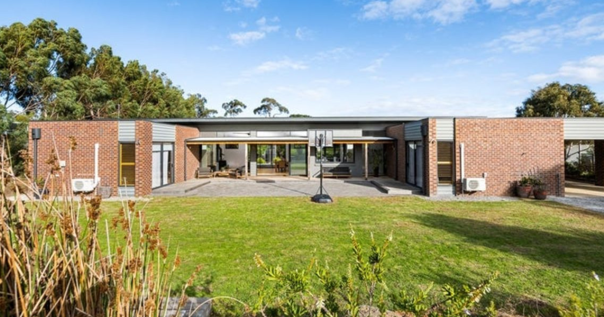
Drysdale image.jpg
Population: 4,275
Male: 47%
Female: 53%
Median age: 49
5 year population change: -1.0%
Median house price: $529,500
Change in Median Price: (5yrs) is 35.5%
Median asking rent per week: $400
Average length of ownership: 11
Owner occupiers: 84%
Renters: 16%
Historic median house price:
July 2019: $529,500
July 2018: $459,500
July 2017: $429,000
July 2016: $390,000
July 2015: $364,000
House sales per annum:
Period ending July 2019: 63
Period ending July 2018: 82
Land median sale price:
July 2019: $315,000
July 2018: $189,000
Land sales per annum:
Period ending July 2019: 15
Period ending July 2018: 57
Share


Related Articles
The vision that shaped Armstrong Mt Duneed
AFTER almost two decades of development, Armstrong Mt Duneed is…
Top marks for residence and location: 22 Cameron Road, Anglesea
SET in a coveted position in the tightly-held pocket of…