Town by Town Snapshot: Drysdale

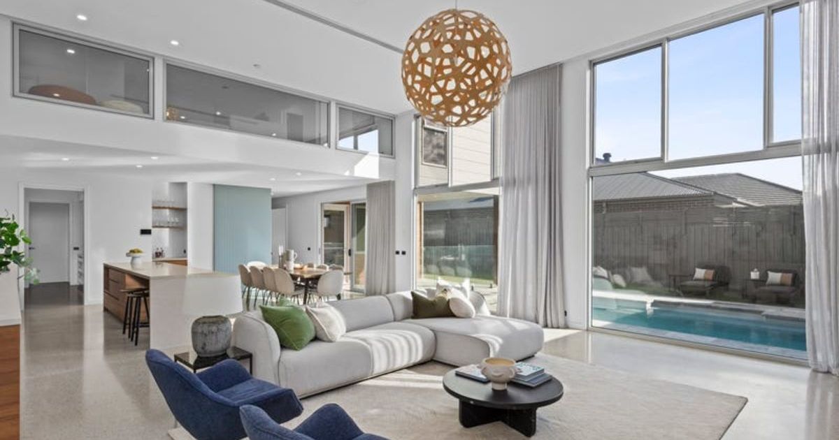
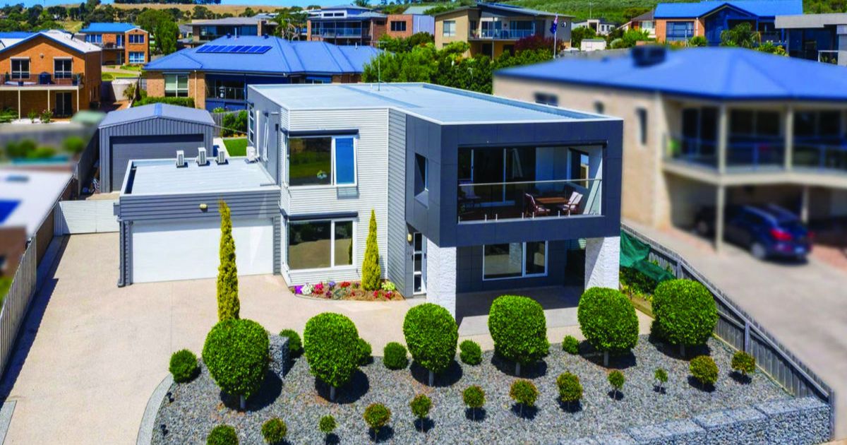
This three-bedroom Drysdale home built in 2015 sold in May for exactly the most recent median price for this area.


The size of Drysdale is about 40.1 square kilometres and has eight parks covering nearly 1.6 per cent of total area.
The population of Drysdale in 2011 was 4,316 people and by the 2016 Census the population was 4,272 showing a population decline of 1.0 per cent in the area during that time.
With the Drysdale real estate market going gangbusters since the last census, the population is estimated to have surpassed 5,000 people with young families and investors leading the charge in recent years to see the median house price jump by more than 50 per cent.
Drysdale beginnings started when in 1848 when Anne Drysdale (1792-1853) and her partner Caroline Newcomb (1812-74) acquired a farm north-west of the intersection of Jetty and Geelong-Portarlington Roads.
Anne Drysdale had prior farming experience in Scotland and on a pastoral run east of Geelong.
Drysdale and Newcomb were successful farmers and built the Coryule homestead.
The heritage-listed homestead is in McDermott Road, Curlewis, immediately west of Drysdale.
At that time the district was known as Bellerean or Bellarine, then Tuckfield (c.1854) and by the end of the decade, Drysdale.
The town developed not around the churches but the Buck’s Head Hotel (1852) at the corner of Collins Street and the Drysdale-St Leonards Road.
The land around Drysdale was fertile and the location was considered to be healthy. Settlement was relatively dense, and in 1853 a Road District was created for all the coastal area between Geelong and Portarlington and the Road Board’s office (1856) was built in Drysdale.
In 1872-73, a jetty was built on Corio Bay for taking produce from the Drysdale district. It enjoyed good patronage until the railway from Geelong to Queenscliff opened in 1879.
Until the 1950s, Drysdale was an agricultural township with amenities that included a bowling green, croquet lawn, churches and a shire hall.
Beyond the old shire office there is the former Drysdale Railway Station at the junction of the Bellarine rail trail and the start of the tourist railway to Queenscliff.
CoreLogic data indicates that the predominant age group in Drysdale is 60-69 years with households in Drysdale being primarily childless couples and are likely to be repaying $1,800-$2,399 per month on mortgage repayments, and in general, people in Drysdale work in a professional occupation. In 2011, 82.8 per cent of the homes in Drysdale were owner-occupied compared with 81.4 per cent in 2016.
Population: 4,272
Male: 47%
Female: 53%
Median age: 49
5 year population change: -1%
Median house price: $580,000
Change in Median Price: (5yrs) is 52.6%
Median asking rent per week: $400
Average length of ownership: 11 years
Owner occupiers: 84%
Renters: 16%
Historic median house price:
February 2020: $580,000
February 2019: $500,000
February 2018: $442,500
February 2017: $422,500
February 2016: $378,500
House sales per annum:
Period ending February 2020: 60
Period ending February 2019: 73
Land median sale price:
February 2020: $290,000
February 2019: $282,000
Land sales per annum:
Period ending February 2020: 26
Period ending February 2019: 34
Share


Related Articles
Elevated coastal living with sweeping views: 40 Point Richards Road, Portarlington
OFFERING sweeping bay and rural vistas, this versatile property at…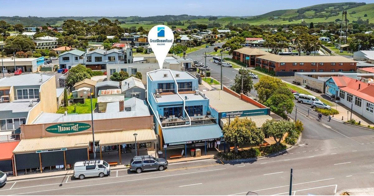
Lock, leave and love the view: 89A Great Ocean Road, Apollo Bay
PERFECTLY positioned just steps from the beach and a short…