Town by town snapshot Inverleigh


The size of the rural and residential hamlet of Inverleigh is approximately 211.7 square kilometres and has 6 parks covering nearly 3.3 per cent of total area.
The population of Inverleigh in 2011 was 1,182 people and by the 2016 Census the population was 1,468 showing a population growth of 24.2 per cent in the area during that time.
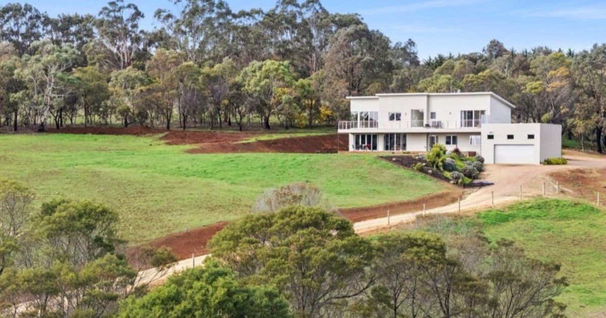
Inverleigh is a rural township at the junction of the Barwon and Leigh Rivers reached by railway from Geelong or by the Hamilton Highway.
The Hamilton Highway was originally the Lower Leigh Road, an early track to Victoria’s Western District.
In 1843 William Lawson built an inn near a ford across the Barwon River, not only was the inn conveniently near a river crossing, the land thereabouts was flood prone, and the silt left by the waters was ideal for farming where early settlers had orchards and dairy farms.
Lawson built a new hotel, named the Horseshoe Inn, during 1851-53, and a township was proclaimed in 1853 with a bridge over the Barwon being built in 1855.
Inverleigh maintained a comparatively consistent population level during the years after World War II, with about a 30 per cent growth between 1971 and 1996.
The town is compact, as the flood prone land near the rivers is suited only to rural or rural/residential use.
CoreLogic data indicates that the predominant age group in Inverleigh is 0-9 years with households in Inverleigh being primarily couples with children and are likely to be repaying $1,800-$2,399 per month on mortgage repayments, and in general, people in Inverleigh work in a managers occupation. In 2011, 88.6 per cent of the homes in Inverleigh were owneroccupied compared with 91.3 per cent in 2016.
Share


Related Articles
Geelong to become home to new Sherridon Homes headquarters in $10m regional expansion
SHERRIDON Homes will establish a new Geelong headquarters as part…
Plan Group Geelong designs its own expansion
PLAN Group has turned its construction expertise inward, designing and…