Town by town snapshot Leopold


The size of Leopold is approximately 26.9 square kilometres and has 17 parks covering nearly 2.7 per cent of total area.
The population of Leopold in 2011 was 10,111 people and by the 2016 Census the population was 12,810 showing a population growth of 26.7 per cent in the area during that time.
Leopold, a residential and rural suburb on the Bellarine Peninsula was originally named Kensington, it was renamed Leopold in 1892 after Queen Victoria’s son, the Duke of Albany. Confusion with the Melbourne suburb of Kensington was a reason for the change.
In 1852, 526 hectares of land was subdivided and offered for sale as the ‘Princely Domain of Kensington’.
Whilst the subdivision did not create a village, it provided a name and settlers depended on the Anglican church and school in Hays Road, Point Henry, established in 1849-50.
By 1865 Kensington also had the shortlived Bellarine Hotel and a community of 300 persons, mostly engaged in agriculture.
Leopold continued as a rural community until the 1960s, when industrial development at Moolap and Point Henry made Leopold a convenient dormitory suburb.
Its population doubled during 1961-71 and doubled again during 1971-81.
Although Leopold is elevated, it has several waterholes and swamps around its perimeter. One has been made into the Gateway Sanctuary reserve, beside the Bellarine Highway on the Geelong side of the town.
The former railway line from Geelong is now the Bellarine Rail walking and cycling trail.
CoreLogic data indicates that the predominant age group in Leopold is 0-9 years with households in Leopold being primarily couples with children and are likely to be repaying $1,400 – $1,799 per month on mortgage repayments, and in general, people in
In 2011, 83.1 per cent of the homes in Leopold were owner-occupied compared with 79 per cent in 2016.
Town by town snapshot Leopold
Owner occupiers: 82% Renters: 18%
Share


Related Articles
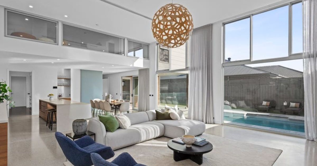
Elevated coastal living with sweeping views: 40 Point Richards Road, Portarlington
OFFERING sweeping bay and rural vistas, this versatile property at…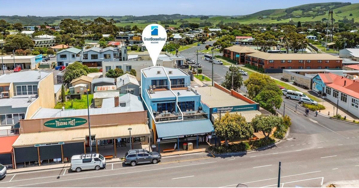
Lock, leave and love the view: 89A Great Ocean Road, Apollo Bay
PERFECTLY positioned just steps from the beach and a short…