City pursues preventative plans for flood-prone Goornong
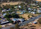
Unwelcome overflows: Areas of Goornong, particularly those along creeks such as Bendigo Creek, have flooded multiple times in recent years, including in 2011, 2022 and 2024. Photo: FILE


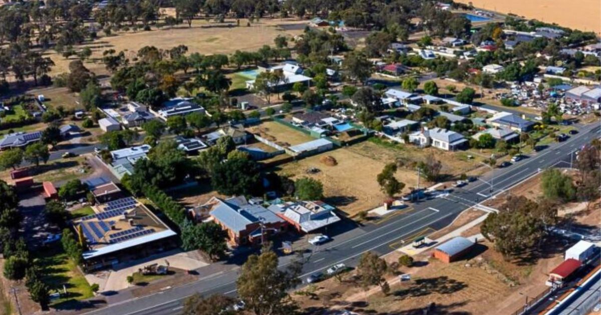
RESIDENTS who live in either Goornong or its surrounding districts are invited to provide input into the development of the City of Greater Bendigo’s new Goornong Flood Study.
The aim of the study is to assess, model and map areas at risk of flooding in and around the township and consider local mitigation options.
It will also cover neighbouring areas including North Huntly, Bagshot, North Bagshot, Fosterville, Wellsford and Avonmore, plus waterways the Bendigo Creek, Crabhole Creek, Reedy Creek, Sandy Creek, Yankee Creek, Five Mile Creek and Gunyah Creek.
City of Greater Bendigo climate change and environment manager Michelle Wyatt said the study will update mapping, taking into account past floods in 2011, 2022 and 2024, to help ensure any charts are as accurate as possible.
It will also take a look at how climate change might affect future floods, find out which areas are most at risk, including homes, roads and train lines, and study different ways to reduce flooding, including ideas from the community.
“It will include recommendations for flood planning overlays to guide future development and will help inform the development of the Goornong Structure Plan,” Ms Wyatt added.
The City has written to Goornong and district residents to invite them to speak with a flood expert about their experiences with flooding, what they know and other information they think is important.
Locals can also contribute information via an interactive map, or by undertaking a short survey on the City’s community engagement website Let’s Talk Greater Bendigo.
Share


Related Articles
Call for community comment on Quarry Hill Heritage Study
THE City of Greater Bendigo has released the draft findings…
More maintenance support for ageing Eaglehawk Secondary College
EAGLEHAWK Secondary College, constructed in 1962 as Eaglehawk High School,…