Town by town snapshot Carisbrook

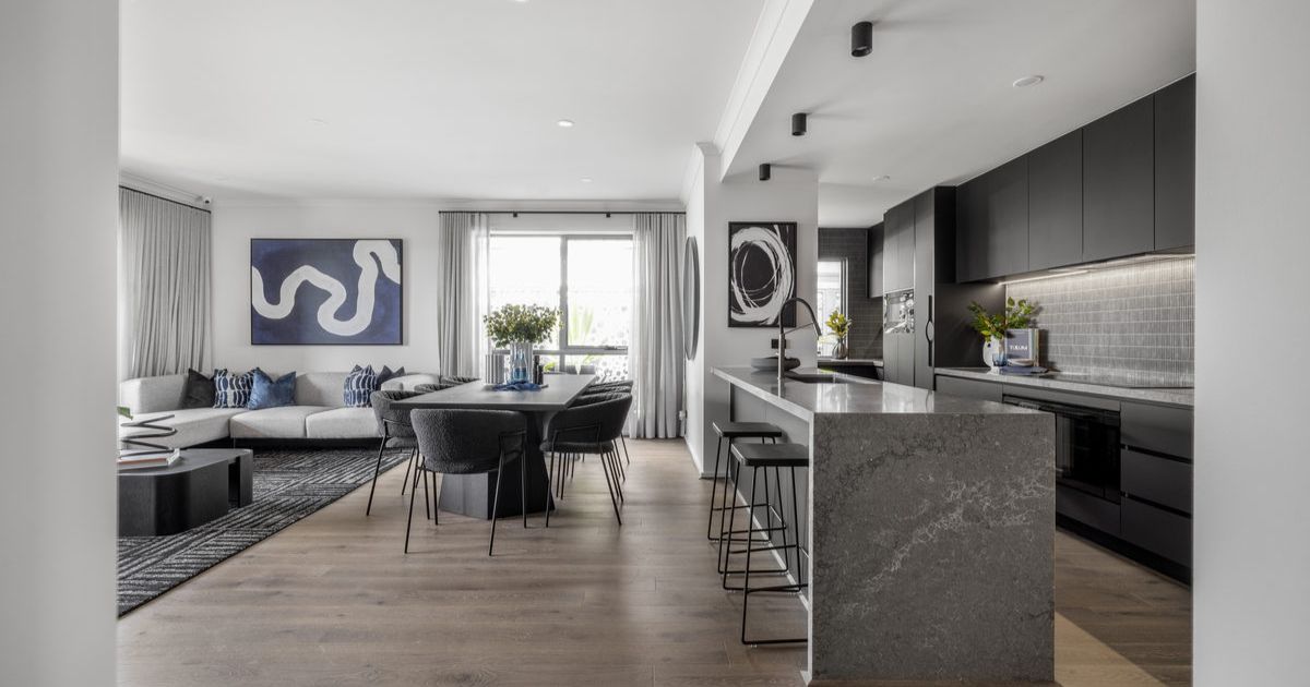
This four-bedroom Carisbrook home built in the 1860s sold recently for $300,000.


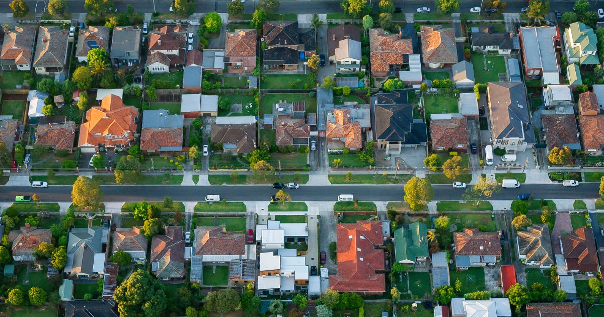
CARISBROOK is approximately 122.4 square kilometres and has twelve parks covering nearly 4.7 per cent of total area.
The population of Carisbrook in 2016 was 1136 and by the 2021 Census it had grown slightly to 1192 people, showing an increase of two per cent in the area during that time.
Carisbrook is a rural township on the Pyrenees Highway and the Castlemaine to Maryborough railway line, eight kilometres east of Maryborough.
Reputedly Carisbrook’s name came from ‘Carrie’s Brook’, named after Caroline Bucknall, the daughter of E.G. Bucknall, an early local pastoralist.
However, before the town was surveyed in 1851 there was a police camp and lock up named Camp Carisbrook, implying that the name could have had another origin and there were pre-existing Carisbrook’s in New Zealand and on the Isle of Wight.
Carisbrook was toward the edge of the Maryborough goldfields, but a good water supply underpinned its prosperity.
Local landowners Joyce and Simson opened a flour mill in 1856 and the first store opened in 1853 with an Anglican church and school starting in 1855.
There were bakeries, a brewery, four hotels, brickyards and several stores when Carisbrook was proclaimed a borough on 7 August 1857.
A railway station was opened when the line was constructed in 1874.
Carisbrook competed with Maryborough for a few years for district leadership, but Maryborough’s centrality in the goldfields gave it prosperity that was unavailable to predominantly agricultural Carisbrook.
On 1 October 1915, when the borough’s population was fewer than 1000, it was united with Tullaroop Shire.
The area’s agricultural economy kept the town’s population from falling under 300, and civic works such as tree planting and improvement of reserves took place.
The Housing Commission opened a mobile homes factory in Carisbrook in 1950 and in 1982 a leisure centre was opened, providing a venue for several indoor sports.
In September 2010 and again in January 2011 many parts of regional Victoria experienced widespread severe flooding.
In Carisbrook the town was completely inundated from floodwater in Deep Creek with 800 people evacuated and many homes damaged.
Damage was sustained to Caroline’s Colonial Restaurant, the building established in 1853 as the town’s first grocery store.
CoreLogic data indicates that the predominant age group in Carisbrook is 60-69 years with households being primarily childless couples and likely to be repaying $1000 to $1399 per month on mortgages.
In general, people in Carisbrook work in a labourer occupation.
TITBIT:
Carisbrook was proclaimed a borough on 7 August 1857.
Population: 1192
Male: 51%
Female: 49%
Median age: 45
5-year population change: 2%
House median value: $425,000
Change in Median Price: (5yrs) is 100%
Median asking rent per week: $240
Average length of ownership: 12 years
Owner occupiers: 85%
Renters: 15%
House median sale price:
October 2022: $480,000
October 2021: $367,000
October 2020: $315,000
October 2019: $305,000
October 2018: $235,000
House sales per annum:
Period ending October 2022: 13
Period ending October 2021: 21
Land median sale price:
October 2022: $179,000
October 2021: $177,000
Land sales per annum:
Period ending October 2022: 8
Period ending October 2021: 11
Share


Related Articles
Three ways to make your first home more affordable
BUILDING a new home in regional Victoria has never been…
Unlocking Your First Home: What the First Home Scheme Changes Mean for You
FROM 1st October, big changes to the Federal Government’s First…