Town by town snapshot – Castlemaine
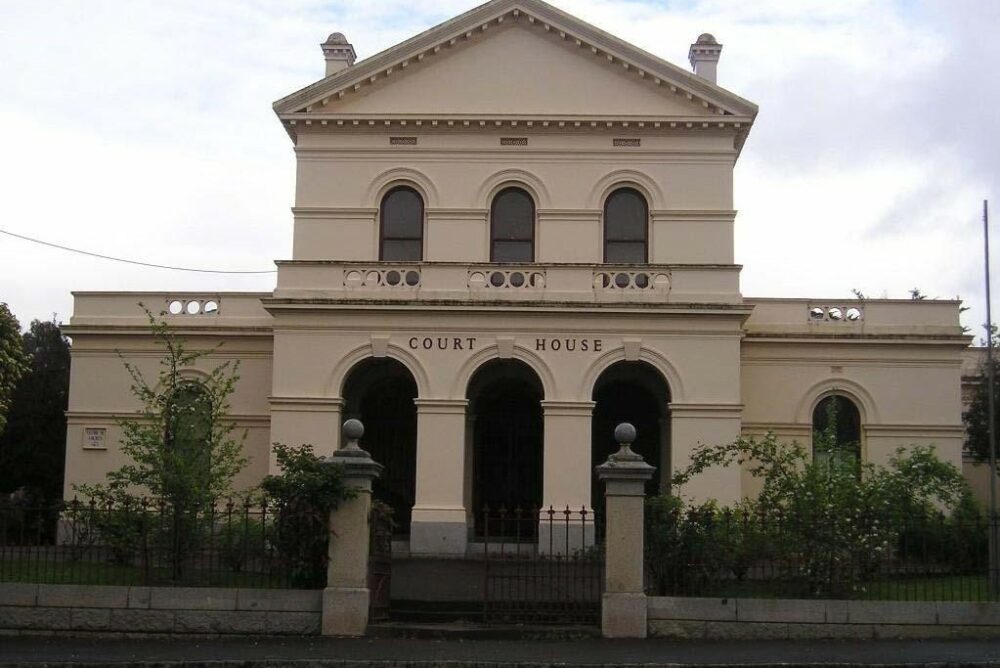
The Castlemaine Court House


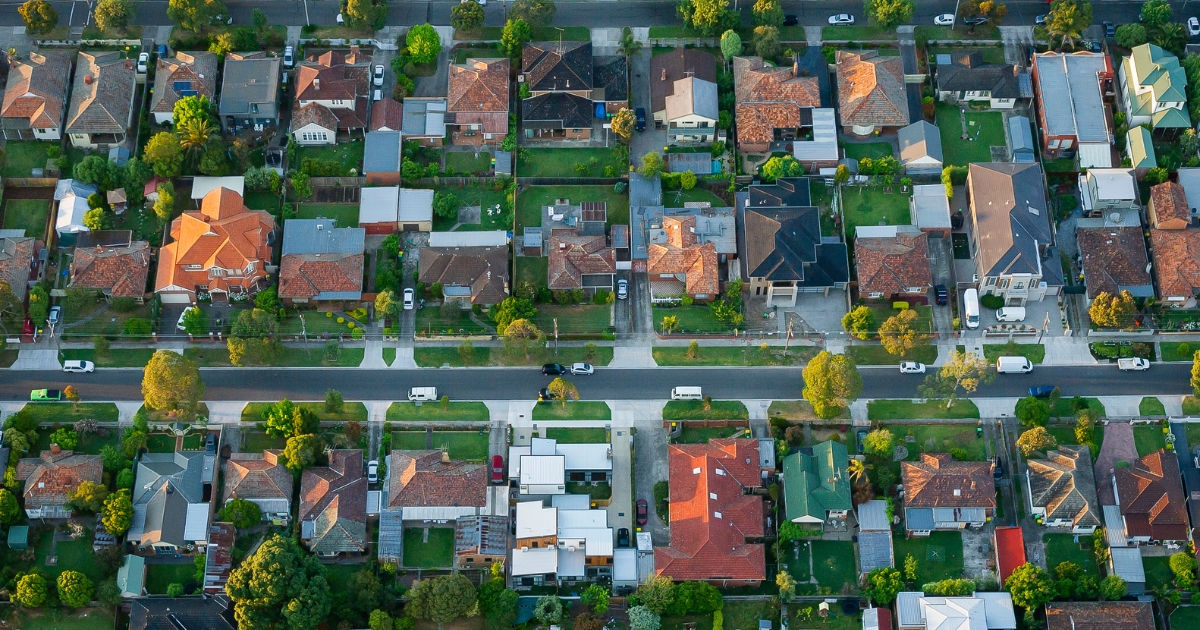
Castlemaine is approximately 20.2 square kilometres and has 43 parks covering nearly 9.6 per cent of total area.
The population of Castlemaine in 2011 was 6750 people and by the 2016 Census it was up slightly to 6783 showing growth of 0.5 per cent in the area during that time.
The Castlemaine locality was originally named Forest Creek where a rich alluvial goldfield was discovered in 1851.
In the following year a town was surveyed and named Castlemaine after the estate of Viscount Castlemaine in Ireland.
The suggested name is variously recorded as coming from Lieutenant-Governor C. J. La Trobe, or from goldfields Commissioner Wright.
Castlemaine township includes several suburban localities: Little Bendigo, Milkmaids Flat, Norwood Hill, Wesley Hill and Winters Flat.
It is situated 117 kilometres north-west of Melbourne and 35 kilometres south of Bendigo at the junction of the Barkers and Forest creeks.
Castlemaine was on the route followed by Surveyor-General, Major Sir Thomas Mitchell in 1836.

Pastoral settlement followed ‘The Major’s Line’, the wheel ruts left by Mitchell’s party during the well-watered season of 1836 in Australia Felix.
Three shepherds and a bullock driver discovered gold in Specimen Gully, about five kilometres north-east of Castlemaine, in September 1851.
Within a month the alluvial bed of Forest Creek was being worked and by the end of 1851 there were 8000 people on the gold fields and several alluvial creeks around Castlemaine, and in February 1852, the newly arrived goldfields commissioner chose an area at the junction of the two creeks for his administrative headquarters, now called The Camp Reserve.
By March 1852 there were an estimated 25,000 persons on the Forest Creek diggings.
Castlemaine was proclaimed a municipal district on 24 April 1855 and a borough on 2 October 1863.
Its further municipal progress was proclamation as a town on 30 January 1950 and as a city on 4 December 1965.
On 19 January 1995, it was united with Newstead and parts of Maldon and Metcalfe shires to form Mount Alexander Shire.
In the 1970s Castlemaine undertook a significant development of its cultural and tourism assets.
The first biennial Castlemaine State Festival was held in 1976, during early November, which coincides with the Spring-flowering time of several notable private gardens.
CoreLogic data indicates that the predominant age group in Castlemaine is 60-69 years with households in Castlemaine being primarily childless couples and are likely to be repaying $1000 – $1399 per month on mortgages. In general, people in Castlemaine work in a professional occupation.
In 2011, 70.7 per cent of the homes in Castlemaine were owner-occupied compared with 71 per cent in 2016.
TIDBIT:
Castlemaine was proclaimed a municipal district on 24 April 1855 and a borough on 2 October 1863.
Population: 6783
Male: 50.2%
Female: 49.8%
Median age: 47
5-year population change: 0.5%
House median value: $636,000
Change in Median Price: (5yrs) is 62.8%
Median asking rent per week: $395
Average length of ownership: 14 years
Owner occupiers:74%
Renters: 26%
House median sale price:
June 2021: $627,000
June 2020: $535,000
June 2019: $519,000
June 2018: $466,000
June 2017: $440,000
House sales per annum:
Period ending June 2021: 143
Period ending June 2020: 117
Land median sale price:
June 2021: $337,500
June 2020: $256,000
Land sales per annum:
Period ending June 2021: 18
Period ending June 2020: 12
Share


Related Articles
Three ways to make your first home more affordable
BUILDING a new home in regional Victoria has never been…
Unlocking Your First Home: What the First Home Scheme Changes Mean for You
FROM 1st October, big changes to the Federal Government’s First…