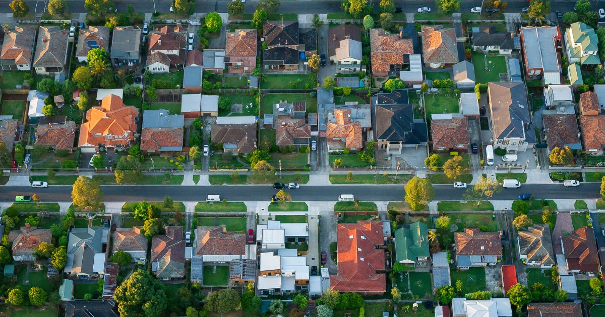
Town by town snapshot – Harcourt
Harcourt is approximately 28.5 square kilometres and has seven parks covering nearly 1.2 per cent of total area.
The population in 2011 was 872 people and by 2016 it had risen to 949, showing growth of 8.8 per cent in the area during that time.
Harcourt is a rural township on the Calder Highway and the railway line from Melbourne to Bendigo and is nine kilometres north-east of Castlemaine and on the western side of the Mount Alexander range.
To the east of the town is Barkers Creek, a stream which flows towards Castlemaine and which was the site of much easily won alluvial gold during gold rushes in 1851-52.

Mount Alexander is the dominant landscape element at Harcourt and was named by the New South Wales Surveyor-General in 1836 after Alexander the Great.
Harcourt was named after Sir William Harcourt, English Chancellor of the Exchequer.
In 1845 Dr William Barker acquired the Mount Alexander pastoral run and built a homestead beside Barkers Creek, Harcourt North.
The gold discovery at Specimen Gully, on Barkers Creek, was reputedly made by employees of Barker in 1851.
Harcourt township was surveyed in 1853, on the junction of the roads to Bendigo and Castlemaine near the Barkers Creek.
Harcourt activities were chiefly agricultural, supplying vegetables and dairy goods to Castlemaine.
A school was opened in 1859, a Methodist church in 1864 and a railway station in 1863 when the line was opened between Kyneton and Bendigo.
During the 1860s orchards were planted for pome and stone fruits and by the 1880s the chief planting were apples, pears and cherries.
In 1881 a water-supply channel from the Coliban system for sluicing gold at Specimen Gully was tapped for irrigation of the Harcourt orchards.
A reservoir had been built north of Harcourt on Barkers Creek by 1868 and a local irrigation trust was established in 1889.
The real benefits of irrigation came with the State Rivers and Water Supply Commission (1905) which took over the Coliban water storage and irrigation system.
The Harcourt valley, between Mount Alexander and Bald Hills, became an apple orchard area which produced export quality crops, and much of the town’s housing stock can be dated form that period.
The town’s prosperity is visible in the well laid-out Stanley Park (1914) with monuments and mature exotic trees.
CoreLogic data indicates that the predominant age group in Harcourt is 50- 59 years with households in Harcourt being primarily couples with children and are likely to be repaying $1400 – $1799 per month on mortgages. In general, people in Harcourt work in a professional occupation.
In 2011, 82.3 per cent of the homes in Harcourt were owner-occupied compared with 85.5 per cent in 2016.
TITBIT:
Harcourt township was surveyed in 1853 on the junction of the roads to Bendigo and Castlemaine near the Barkers Creek.
Population: 949
Male: 50.1%
Female: 49.9%
Median age: 46
5-year population change: 8.8%
House median value: $732,000
Change in Median Price: (5yrs) is 61%
Median asking rent per week: $350
Average length of ownership: 7 years
Owner occupiers: 87%
Renters: 13%
House median sale price:
December 2021: $608,000
December 2020: $565,000
December 2019: $427,500
December 2018: $406,000
December 2017: $398,000
House sales per annum:
Period ending December 2021: 21
Period ending December 2020: 12
Land median sale price:
December 2021: $262,000
December 2020: $245,000
Land sales per annum:
Period ending November 2021: 7
Period ending November 2020: 6


