Town by town snapshot – Wedderburn

The Wedderburn Memorial Park.


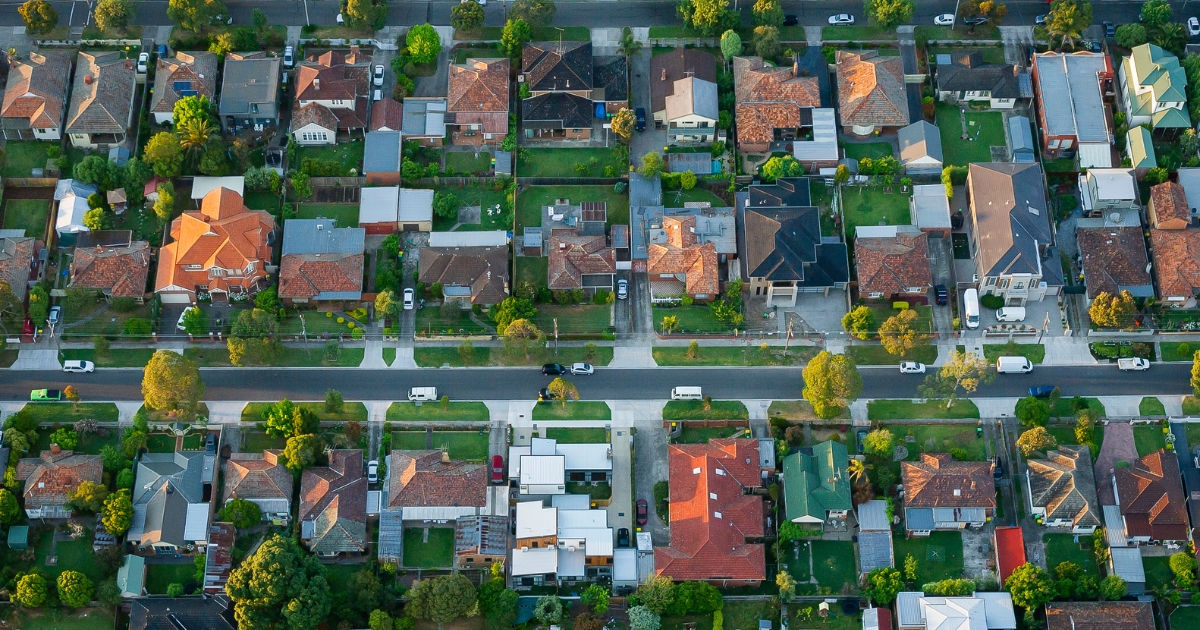
Wedderburn is approximately 206.6 square kilometres and has twenty-three parks covering nearly 19.3 per cent of total area.
The population in 2011 was 979 people and by the 2016 Census it was down to 917, showing a decline of 6.3 per cent in the area during that time.
Wedderburn is a rural township on the Calder Highway, 70 kilometres north-west of Bendigo and was founded on a gold field, one of the most north-westerly gold sites from Melbourne.
It’s nearest neighbouring towns are St Arnaud – also a former gold town – and Charlton.
Gold was first discovered at Wedderburn in 1852 and the field was first known as Korong or Mount Korong.
The mount, 12 kilometres south-east of Wedderburn, is the tallest feature in the area and was climbed by the New South Wales Surveyor-General, Thomas Mitchell, during his Australia Felix expedition in 1836.
‘Korong’ is thought to be derived from an Aboriginal word meaning campsite, large swamp or canoe.
The origin of Wedderburn’s name is slightly more confused, the most likely explanation is that a William Wedderburn served in the goldfields Mounted Police.
Wedderburn township was surveyed in 1856-57 and allotment sales began in 1858. There had been a hotel (1853), a Methodist chapel (1857) and several stores at the time of the survey.
Gold was obtained from numerous alluvial gullies, and the number and size of nuggets drew many miners.

Between about 1855 and the 1890s quartz reefs were worked, and steadily outproduced the alluvial sites.
In 1862 the Kingower and Wedderburne Road District was proclaimed, in turn becoming Korong Shire on 6 September 1864. Wedderburn has been the administrative centre of the Shire throughout its existence.
Farm selections were taken up in the 1870s, and the district’s rainfall was suitable for wheat. A flour mill was opened in 1880, becoming a major local employer until destroyed by fire in 1919.
Two years after the mill was opened the railway line was extended from Inglewood with a station at Wedderburn Junction, eight kilometres east of Wedderburn and a spur line between the two Wedderburns was opened in 1887.
CoreLogic data indicates that the predominant age group in Wedderburn is 50-59 years with households being primarily childless couples and are likely to be repaying $1000 – $1399 per month on mortgages. In general, people in Wedderburn work in a managers occupation.
In 2011, 76.5 per cent of the homes in Wedderburn were owner-occupied compared with 79.7 per cent in 2016.
TIDBIT:
Wedderburn’s most famous personality was Albert Jacka, VC, MC, who attended the local school and enlisted for World War One.
Population: 941
Male: 51.5%
Female: 48.5%
Median age: 56
5-year population change: -6.3%
House median value: $221,000
Change in Median Price: (5yrs) is 19%
Median asking rent per week: $150
Average length of ownership: 8 years
Owner occupiers:85%
Renters: 15%
House median sale price:
July 2021: $162,500
July 2020: $137,000
July 2019: $145,000
July 2018: $131,000
July 2017: $160,000
House sales per annum:
Period ending July 2021: 36
Period ending July 2020: 10
Land median sale price:
July 2021: $73,500
July 2020: $68,000
Land sales per annum:
Period ending July 2021: 20
Period ending July 2020: 19
Share


Related Articles
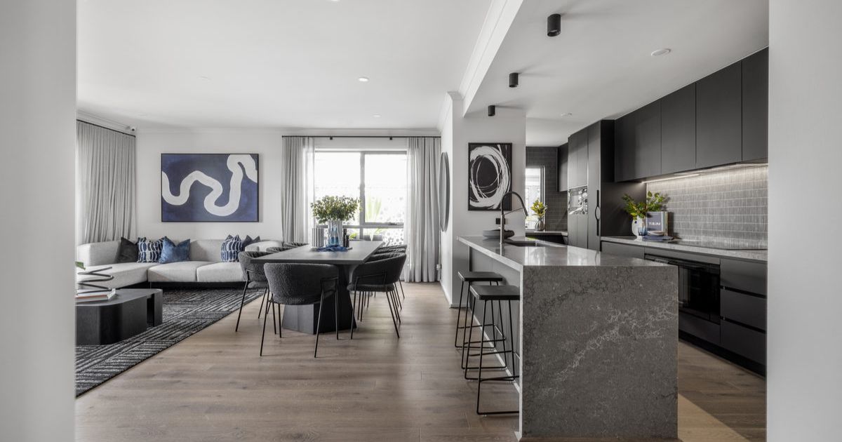
Three ways to make your first home more affordable
BUILDING a new home in regional Victoria has never been…
Unlocking Your First Home: What the First Home Scheme Changes Mean for You
FROM 1st October, big changes to the Federal Government’s First…