Community photos to track Ballina’s changing beaches

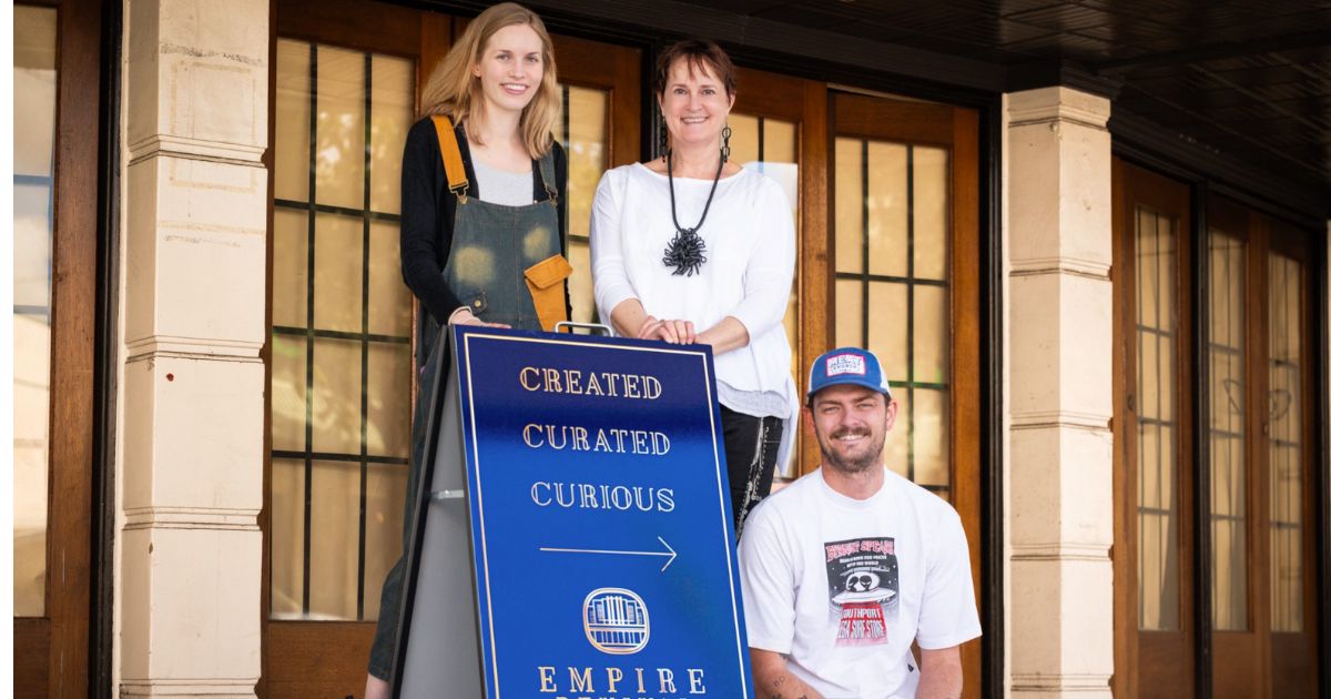
The CoastSnap station set up along the coastal boardwalk near Sharpes Beach, Ballina. Photo: MITCHELL CRAIG.
A NEW community project in Ballina is helping scientists monitor coastal changes through public photo contributions.
Known as CoastSnap, the initiative has installed fixed smartphone cradles at beaches, allowing visitors to take consistent shoreline photos that track long-term environmental shifts.
The first station was recently set up along the coastal walk at Sharpes Beach, with a second planned for Ballina Lookout between Lighthouse Beach and Shelly Beach.
These cradles are placed at locations most vulnerable to coastal hazard risks. Each station includes a phone cradle overlooking the beach, along with instructions on how to take and submit images.
“Citizen scientists are helping us to gain a better understanding of beach dynamics in response to extreme storms and sea level rise,” Mr Kinsela said.
“An educated and engaged community is key to adaptation.
“As people learn more about coastal dynamics, they can take that knowledge into local decision-making.”
Mr Kinsela is a coastal scientist who uses field studies, spatial analysis and numerical modelling to investigate evolving coastlines, especially in response to extreme storms and climate change.
“The long-range datasets being collected by CoastSnap give scientists and managers a much deeper understanding of coastal erosion and the impact of climate change,” he said.
To have the images used, place the smartphone in the cradle, take a picture and then upload it using the CoastSnap app or by scanning the QR code at the site.
Each image is added to a central database where scientists use time-lapse videos.
The state government initiative is in partnership with the University of New South Wales in Sydney and the NSW National Parks and Wildlife Service.


