With distinction: Grants to enhance the Bellarine’s environment

Feel at home with Harmac Homes’ new Mayflower design.


THE state government has announced $770,000 in grants for environmental projects in support of the Bellarine Peninsula’s Distinctive Area and Landscape (DAL) process.
The peninsula was officially declared a DAL in October 2019, and the state government is working on its Statement of Planning Policy, which will include a 50-year vision and land use strategies to better protect the unique features of the Bellarine Peninsula now and into the future. It will also provide the opportunity to designate long-term settlement boundaries and height controls.
To tie in with the DAL, Bellarine MP Lisa Neville announced funding for the projects earlier this week to enhance the peninsula’s environment.
Projects include $150,000 in upgrades to the coastal trail between Portarlington and St Leonards and $348,000 for the Ocean Grove Nature Reserve, and $250,000 for the establishment of a new community park out of the Barwon Water catchment site on the corner of Grubb and Swan Bay Roads by removing the water storage basin and restoring the natural course of Yarram Creek.
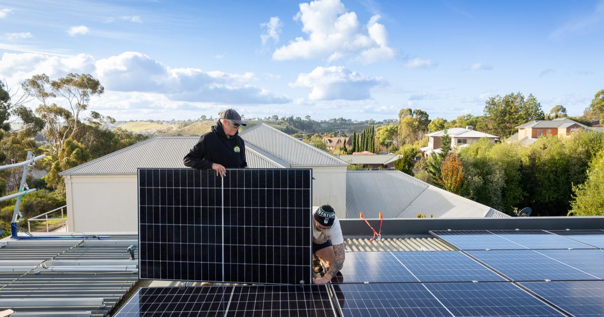
Funding has been provided for Stage 1 of Barwon Water’s Bellarine recycled water project, aimed at supplying more recycled water for local agriculture and thus reducing the use of valuable drinking water.
Restoration funding has also been made available for projects such as the Narrows Woodland, Point Lonsdale Lighthouse, Shortland’s Bluff at Queenscliff, Leopold Cemetery, Clifton Springs Foreshore, Bonnyvale Wetlands, and revegetation of sections of the Bellarine Rail Trail.
The project proposals were assessed by a government panel, which considered:
- How well the project aligned with the objects of the DAL legislation
- How the project would help to enhance or protect an identified feature within a declared DAL
- How well-developed or “ready” a project was to proceed, and
- Any supporting community feedback received during the DAL public consultation.
“We’re delivering stronger planning controls to protect the outstanding natural beauty, economic and cultural significance of the Bellarine Peninsula,” Ms Neville said.
“These are great local projects that will deliver environmental benefits and improvements to beaches, parks and other much-loved parts of the region.”
The Bellarine Peninsula DAL covers the entire peninsula, including water immediately off the coast, and extends as far east as Coppards Road in Whittington, Sparrovale Road (the eastern boundary of the future Sparrovale Nature Reserve) and Barwon Heads Road in Charlemont, and Breamlea Road in Connewarre.
For more information on the Bellarine Peninsula DAL, including a discussion paper, head to engage.vic.gov.au/distinctive-areas-and-landscapes-program/bellarine-peninsula.
Share


Related Articles
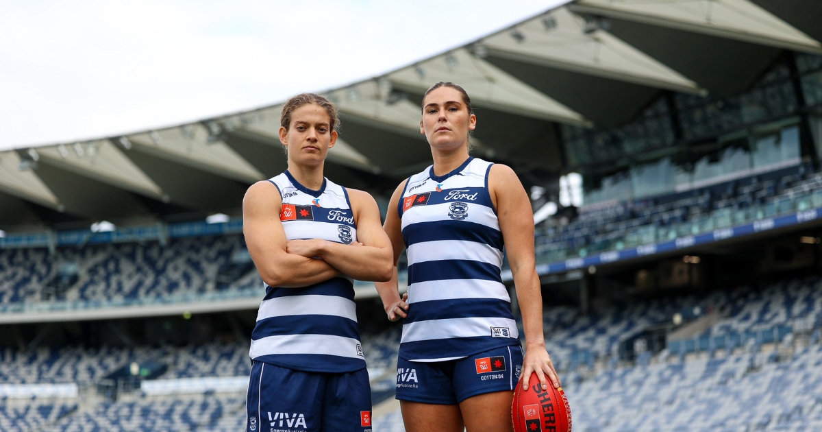
Cats unveil AFLW co-captains for 2026
The Geelong Cats have unveiled Becky Webster and Nina Morrison…
Winchelsea Blues mark historic 150th anniversary
The Winchelsea Football Netball Club will celebrate a monumental 150-year…