Exploring Lara’s flood factor


THE City of Greater Geelong will provide online opportunities for landowners to learn more about the likely impact and what can be done to minimise flooding.
Council officers have also been responding to calls after sending out letters last month to advise more than 3000 landowners of the Lara Flood Study findings and the new mapping which could affect their properties.
Lara’s relatively flat terrain and its increasing population makes the area susceptible to widespread, shallow stormwater flooding, according to the study.
The township’s location on the banks of Hovells Creek, creates a risk of riverine flooding, which is when a river or creek breaks its banks, in a “large storm event” .
Significant flood events impacting parts of the Lara community were recorded in 1933, 1973, 1983, 1988, 1995, 2005 and 2010, and localised flooding also regularly impacts individual properties.
The flood study includes mapping of the extent of flooding across the Lara region in a large storm, and what the city is doing to better manage the risk.
New mapping aims to provide more accurate information than was previously available regarding the extent of overland flows and the council has advised Lara property owners if their property has been designated as liable to flooding on the new map.
Flooding predictions only apply to the land and do not consider any buildings however planning requirements may change for new properties, such as revised minimum floor heights.
The city will also install flood warning signs at new locations identified as being ‘at risk’, improve flood warning systems and prioritise upgrades to drainage infrastructure to reduce flooding.
A community session was presented last week, responding to community inquiries about the study’s impact, and another session which was planned for the Lara Golf Club this week has been cancelled due to COVID restrictions.
Book an online chat via the City’s website.
Share


Related Articles
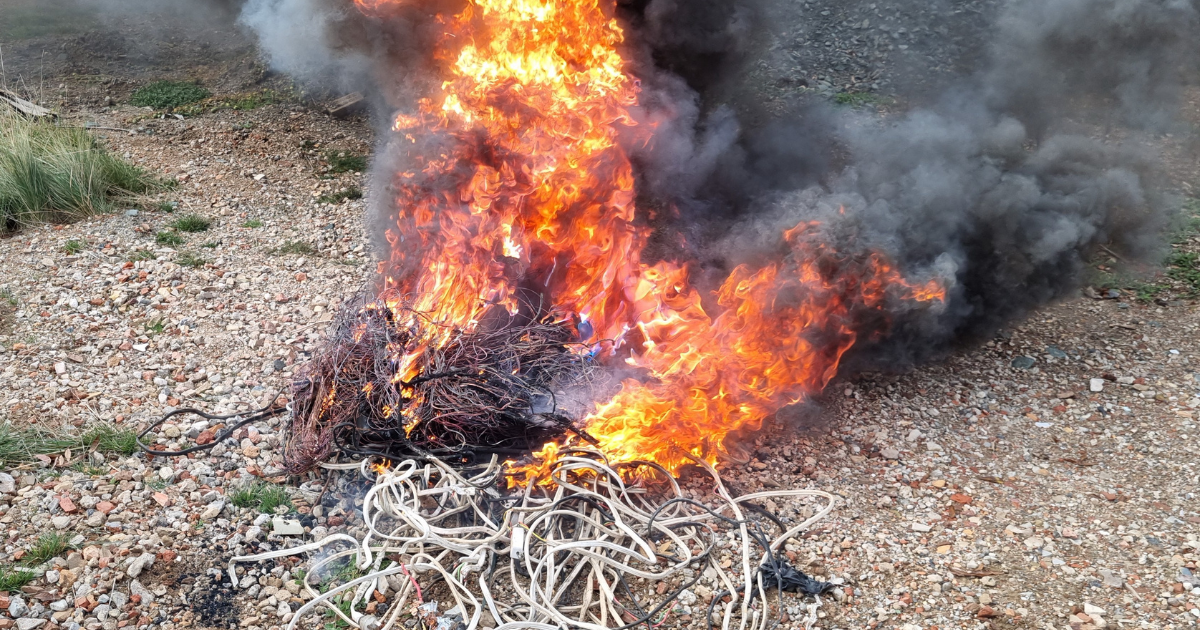
Repeat waste burning lands Lara man fine
A Lara man has been fined after allegedly burning industrial…
State takes over Geelong housing plans after council misses deadline
The state government has stepped in to take over planning…