Town by Town Snapshot: Curlewis

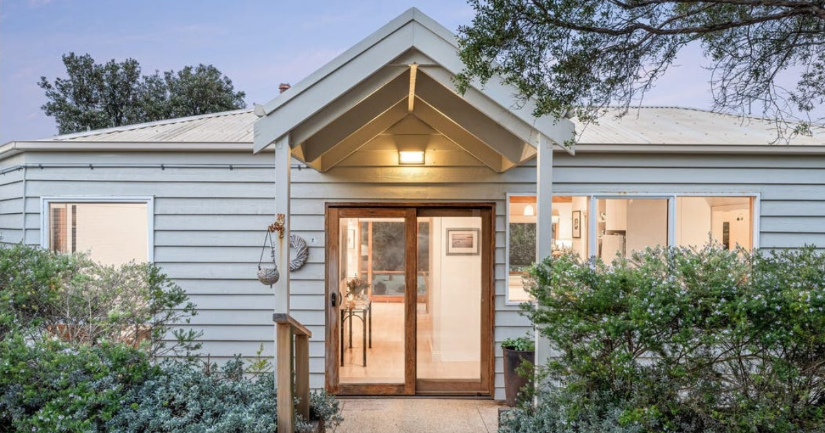
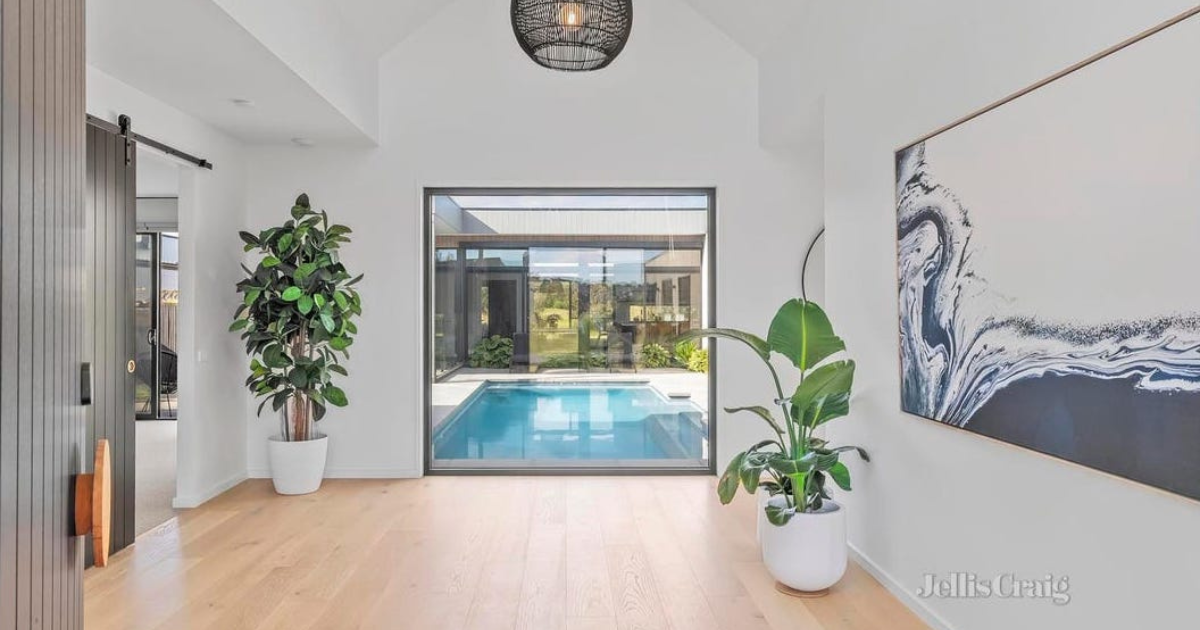
This compact four-bedroom Curlewis home built in 2017 is the most recent recorded sale selling at $502,000.
The size of Curlewis is approximately 20.3 square kilometres and has 4 parks covering nearly 0.2% of total area.
Curlewis is located on the Bellarine Peninsula and bounded by Port Phillip Bay in the north, Griggs Creek, Jetty Road, Geelong-Portarlington Road and a line running north-south in the east, the locality of Wallington in the south, and the locality of Leopold.
The population of Curlewis in 2011 was 223 people and by the 2016 Census the population was 1,565 showing a population growth of 601.8% in the area during that time.
Curlewis could be described as an instant community; the area has been rapidly transformed from a rural lifestyle community of just over 200 people living on acreages and farmlets to a modern young suburb with a population heading towards 3,000.
There has been in excess of 1,000 land sales recorded over the last four years with 321 blocks sold in 2017 alone.
This new suburb boasts a median age of 32, one of the youngest in the state, with neighbouring Drysdale in comparison showing a median age of 49, so it’s not surprising that the predominant age group is in the 0-9 year bracket.
CoreLogic data indicates that households in Curlewis are primarily couples with children and are likely to be repaying $1,800 – $2,399 per month on mortgage repayments, and in general, people in Curlewis work in a professional occupation.
In 2011, 87.5% of the homes in Curlewis were owner-occupied compared with 74.1% in 2016.


