Town snapshot – Belmont

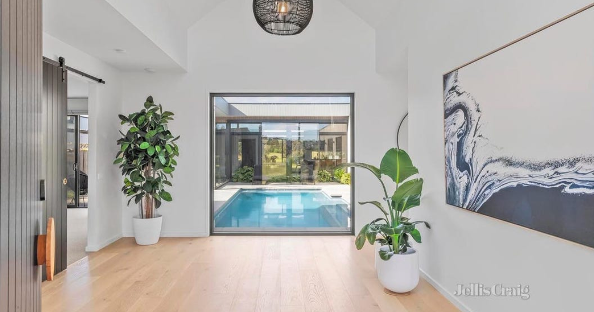
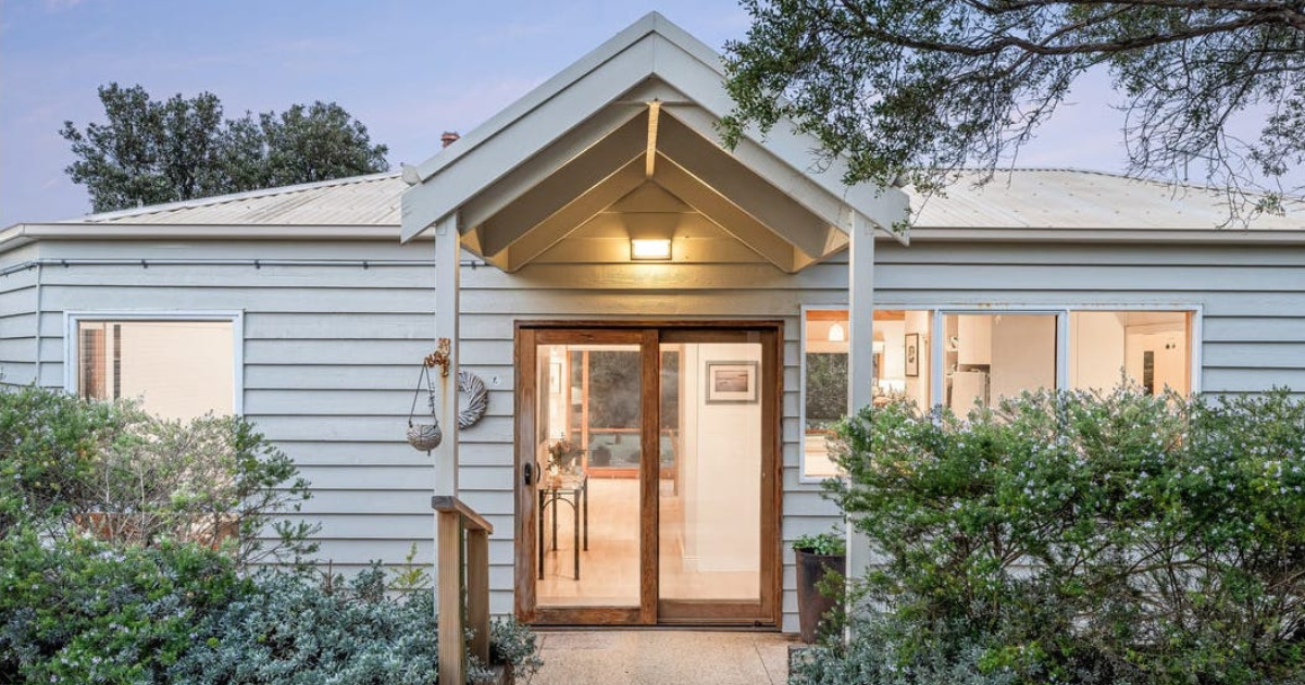
This stylish three bedroom Belmont home sold recently for $755,000


THE size of Belmont is approximately 9.2 square kilometres and has many parks covering nearly 24.7% of total area.
The population of Belmont in 2016 was 14,050 and by the 2021 Census the population was 15,066 showing a population growth of 7% in the area during that time.
The site of Belmont was settled by Dr Alexander Thomson in 1836. Thomson, a pioneer preacher and pastoralist named his holding Kardinia, and his Kardinia homestead (1850) in Riverview Terrace near the river is on the Register of the National Estate.
Thomson was Mayor of Geelong five times between 1850 and 1858.
The area now comprising the Belmont Common was a lagoon, and Thomson’s Kardinia homestead was situated on the edge of rising ground. Westwards the ground rises towards the Barrabool Hills, which may be the source of the name of Belmont, a word of French or Italian origin for a fine or pretty hill.
In 1861 the Belmont town was proclaimed as a settlement south of the Barwon River, and in 1862 the Princes Bridge opened, connecting the Colac road (Princes Highway) to Geelong. By 1865 Belmont had three hotels, a flourmill, tanneries, fellmongeries and a court of petty sessions. A Catholic school had functioned during 1856-63, and a National School opened at the same time continued. It became the State primary school. Much of the surrounding land was agricultural, including orchards, vineyards and market gardens. Limestone was quarried.
Belmont Common was the site of the landing of an aeroplane piloted by Captain Bert Hinkler in 1928, and an aerodrome was laid out on its north-west section. A tram service from Geelong to Belmont was opened in 1927 and ceased in 1956 along with all the Geelong trams.
Until 1936 the shopping centre on High Street (Princes Highway) was small, but a Harry Hooper grocery (later a supermarket) attracted retail development. A Dickens grocery opened later, culminating in a Coles New World supermarket. Kmart opened a drive-in centre immediately to the north in 1970. This development coincided with strong increases in traffic, particularly heavy vehicles, putting pressure on the shopping centre’s amenity.
Further south on the Princes Highway, there was a CSIRO textiles research centre (1958-2010).
By the early 1950’s the tide of suburban growth was well upon Belmont. A second primary school was opened in 1951, a high school in 1955, and community facilities were established.
South Barwon shire (1875) were opened in Mt Pleasant Road, Belmont.
The Belmont Common, now without the aerodrome, has a golf course, numerous ovals, a wildlife reserve and an active Sunday market.
CoreLogic data indicates that the predominant age group in Belmont is 20- 29 years with households in Belmont being primarily childless couples and are likely to be repaying on average $1,700 per month on mortgage repayments, and in general, people in Belmont work in a professional occupation.
TIDBIT:
A tram service from Geelong to Belmont was opened in 1927 and ceased in 1956 along with all the Geelong trams.
Population: 15,066
Male: 48.6%
Female: 51.4%
Median age: 37
5 year population change: 7%
House median sales price: $693,750
Change in Median Price: (5yrs) 33.6%
Median asking rent per week: $470
Average length of ownership: 12 years
Owner occupiers: 66%
Renters: 34%
House median value:
November 2023: $720,291
November 2022: $747,491
November 2021: $789,326
November 2020: $600,000
November 2019: $554,000
House sales per annum:
Period ending November 2023: 289
Period ending November 2022: 225
Land median sale price:
November 2023: N/A
November 2022: N/A
Land sales per annum:
Period ending November 2023: 4
Period ending November 2022: 4
Share


Related Articles
Between the fairways and the surf
30 Stephens Pde, Barwon Heads Opportunities in this tightly…
Agent Profile: Chris Schumann
Chris Schumann Director and Licensed Estate Agent OceanX Property …