Canadian
The size of Canadian is approximately 7.8 square kilometres and has 15 parks covering nearly 28.1 per cent of total area.
The population of Canadian in 2011 was 3202 people and by the 2016 Census the population was 3593 showing a population growth of 12.2 per cent in the area during that time.
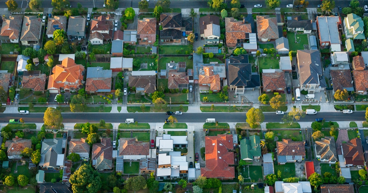
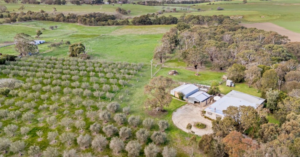
Canadian is a rural and residential suburb three kilometers south-east of central Ballarat and was named after the rich Canadian gold lead (1852), reputedly named after a man called Canadian Swift.
The lead ran southwards, east of Canadian Creek where it crosses the Buninyong Road, branching into lesser leads as it passed by Sovereign Hill.
The very rich ‘jewellers shop’ part of Canadian Lead was near today’s Ellsworth Street.
Ellsworth Street in fact became the municipal boundary between Ballarat City and Buninyong Shire, putting Canadian in both municipalities.
There was a railway station at Canadian during the life of the Ballarat to Buninyong line (1889-1947).
By the 1980s urban settlement spread south from Ballarat and in 1997 three schools were amalgamated into the new Canadian Lead school in the north of Canadian, located next to Pennyweight Gully Creek.
CoreLogic data indicates that the predominant age group in Canadian is 20- 29 years with households in Canadian being primarily couples with children and are likely to be repaying $1000 – $1399 per month on mortgage repayments, and in general, people in Canadian work in a professional occupation.
In 2011, 66.4 per cent of the homes in Canadian were owner-occupied compared with 65.4 per cent in 2016.


