Suburb by suburb snapshot: Black Hill
The size of Black Hill is approximately 1.8 square kilometres and has 12 parks covering nearly 27.5 per cent of total area.
The population of Black Hill in 2011 was 2,131 people and by the 2016 Census the population was 2,118 showing a population decline of 0.6 per cent in the area during that time although more recently, data trends indicate an increasing population.
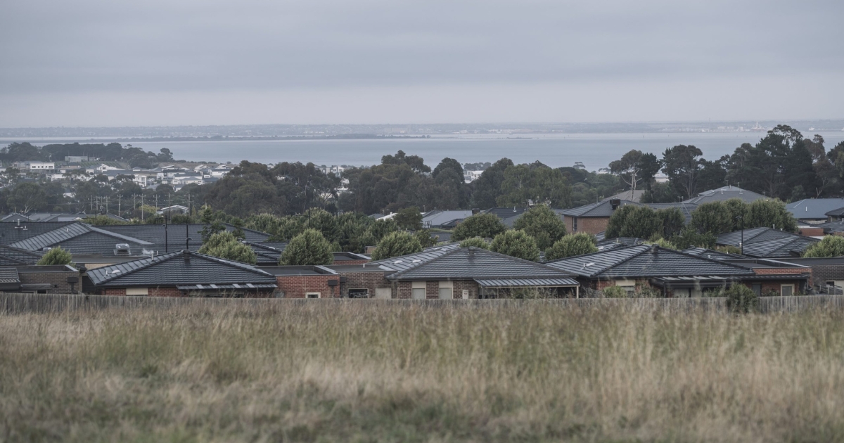
Black Hill is immediately north-east of Ballarat central with its southern border being the Yarrowee Creek, from where it rises to the Black Hill reserve with a lookout from where Ballarat and Ballarat East can be viewed.
The locality was a gold-diggings site as early as August 1851 and it seems that at some stage a summer fire blackened the landscape, giving rise to the name.
A school was opened in 1861 and replaced by a building on the present school site in 1878.
Black Hill was recorded in the Victorian municipal directory as a farming locality until the 1950s. Chisholm Street was the main thoroughfare where there was the school and a grocer’s shop and by the late 1960s Black Hill was becoming a residential area.
CoreLogic data shows that the predominant age group in Black Hill is 20-29 years with households in Black Hill being primarily couples with children and are likely to be repaying $1,000 – $1,399 per month on mortgage repayments, and in general, people in Black Hill work in a professional occupation.
In 2011, 62.6 per cent of the homes in Black Hill were owner-occupied compared with 61.2 per cent in 2016.


