Suburb by suburb snapshot: Wendouree
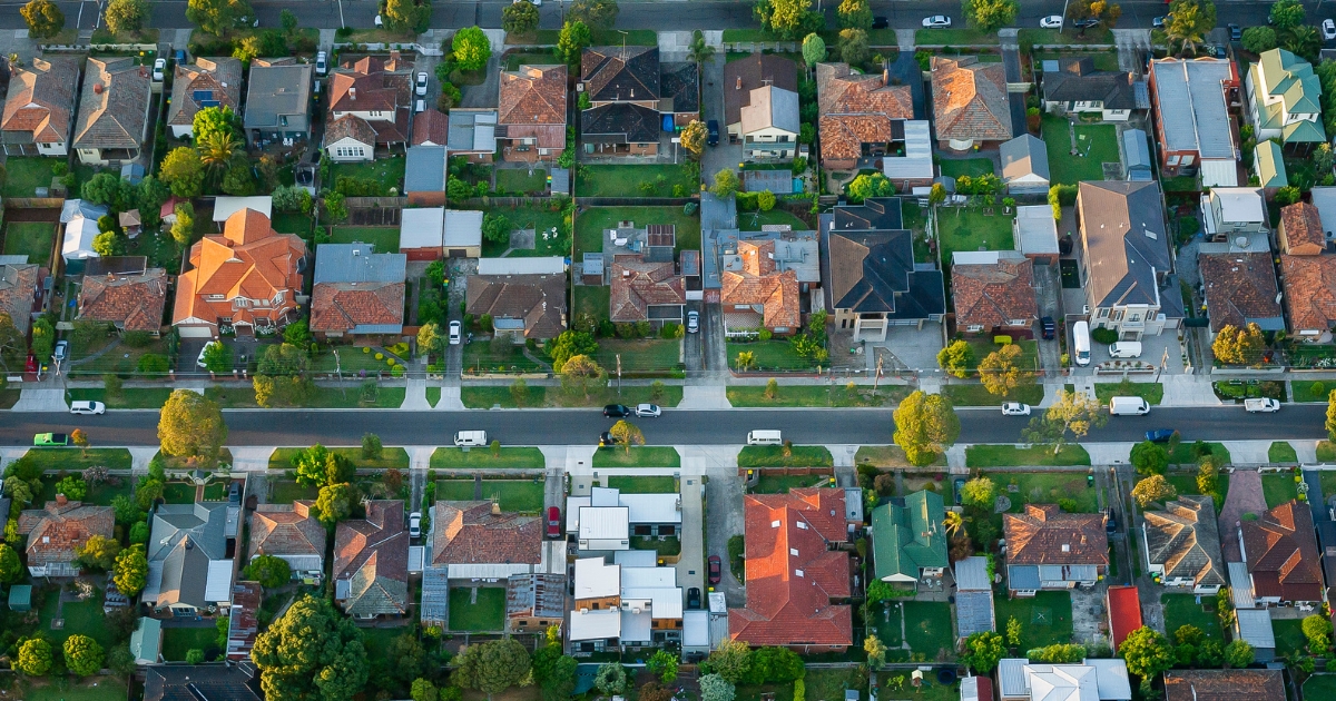
THE size of Wendouree is approximately 9.6 square kilometres and has 21 parks covering nearly 7.5 per cent of total area.
The population of Wendouree in 2011 was 10,597 people and by the 2016 Census the population was 10,452 showing a population decline of 1.4 per cent in the area during that time. Wendouree is a 4km north-west of the city centre and is known for the nearby Lake Wendouree, around which are the Botanic Gardens and Wendouree Parade.
The lake was originally known as Yuille’s Swamp, forming part of William Yuille’s Ballarat pastoral run (1838). Yuille’s Swamp was used to supply water to Ballarat (1852) until better reservoirs were built in the 1860s. Until then the lake was alternately a water storage or dust hollow, depending on rainfall and the amount drawn off.
During the 1870s improvements were made to the lake as an aquatic venue, and the City and Wendouree rowing clubs raced there.
It appears that the name Wendouree was given at about the time of the improvements and apparently is derived from an Aboriginal expression. Between 1947 and 1971 the then Wendouree shire’s population grew by 10,000 to 14,394.
CoreLogic data indicates that the predominant age group in Wendouree is 20-29 years with households in Wendouree being primarily childless couples and are likely to be repaying $1,000 – $1,399 per month on mortgage repayments, and in general, people in Wendouree work in a labourer occupation.


