Town by town snapshot: Inverleigh


The size of Inverleigh for ABS data collection purposes is approximately 211.7sqm and stretches from Lake Murdeduke in the south and half way to Shelford in the north with six parks covering nearly 3.3 per cent of total area.
The population of Inverleigh in 2011 was 1,182 and by 2016 had risen to 1,468, a growth of 24.2 per cent.
Inverleigh sits at the junction of the Barwon and Leigh Rivers on the Hamilton Highway, 30km east of Geelong.
In 1843 William Lawson built an inn near a ford across the Barwon River. The land was flood prone and the silt was ideal for farming.
Lawson built a new hotel named the Horseshoe Inn during 1851-53 and a township was proclaimed in 1853 with a bridge over the Barwon built in 1855.
Inverleigh maintained a comparatively consistent population level after World War II, with about a 30 per cent growth between 1971 and 1996. The flood prone land near the rivers (on three sides of the town) is suited only to rural or rural/residential use.
Inverleigh has a large bluestone hotel, mechanics’ institute hall, a golf club, two recreation reserves, sports club facilities, four churches, and the original bluestone school built in 1865.
CoreLogic data indicates that the predominant age group in Inverleigh is 0-9 years with households in Inverleigh being primarily couples with children and are likely to be repaying $1,800 – $2,399 per month on mortgage repayments, and in general, people in Inverleigh work in a management occupation.
Share


Related Articles
New development announced for Corio
Developer Cedar Woods Properties has announced a new 400-home project…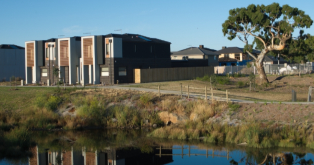
Townhouse Living: Is it the right fit for your family?
As one of Australia’s most high-activity real estate markets, townhouses…