New flood model released to guide disaster planning

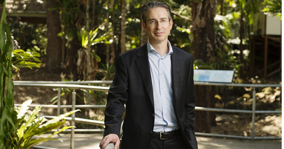
The CSIRO has released the second part of its report as part of its research into the 2022 floods at Lismore. Photo: SUPPLIED.


A NEW flood model developed by the CSIRO has been released to help the Northern Rivers plan for future disasters.
The Richmond River catchment model is part of the $11.4 million Northern Rivers Resilience Initiative, a joint project between the CSIRO and the National Emergency Management Agency.
It uses detailed topographic and environmental data to simulate how water behaves across more than 7,000 square kilometres, tracking flood depth, speed and direction using information on rainfall, soil, vegetation and infrastructure.
The project took two years to complete and was reviewed by three independent international experts.
Lismore City mayor Steve Krieg said the report should give governments the technical confidence to invest in meaningful resilience measures.
“What’s required is leadership and investment to turn science into action to protect lives, homes, jobs, infrastructure and economies,” Krieg said.
“For a region that has experienced 129 floods in 150 years, investment in resilience is a no brainer.
“As a Council we’re ready to lead differently, to back the science, partner with government, and deliver long-term resilience for sustainable growth.”
Federal Page MP Kevin Hogan said the model would allow engineering solutions to be properly tested.
“Options like building dry retention basins to temporarily hold water back, and letting floodwater get away quicker, should all be part of the solution,” Hogan said.

“We can’t keep spending billions cleaning up disasters after they happen. We need to invest in solutions that will actually make us safer before the next flood comes.
“Our community deserves certainty and real protection. The CSIRO has done the work, now it’s time for governments to step up.”
Emergency management minister Kristy McBain said it was the first time a catchment model of this scale and complexity had been built for the region.
NSW Minister for Recovery Janelle Saffin said all levels of government would continue to work together to prepare communities for future weather events.
Mr Hogan has also launched a community petition calling on state and federal governments to use the CSIRO tool to model engineering solutions that could lower flood levels by one to two metres across the Richmond catchment.
This includes Bungawalbin Creek through Coraki, Eden Creek through Kyogle, Richmond River through Casino, and Terania, Leycester and Wilsons through Lismore to
Ballina. CSIRO has also released new LiDAR maps of the region, with data available on the Geoscience Australia Elvis platform.
A community information session will be held at Ballina Surf Club on Monday, August 5.
BY MITCHELL CRAIG AND SONIA CAEIRO ALVAREZ
Share


Related Articles
Learning CPR to save a life
THE Cabarita Beach-Pottsville Beach Lions Club is on a mission…
WILD AID rocks Byron
AUSTRALIAN rock legends Hoodoo Gurus and powerhouse vocalist Toni Childs…