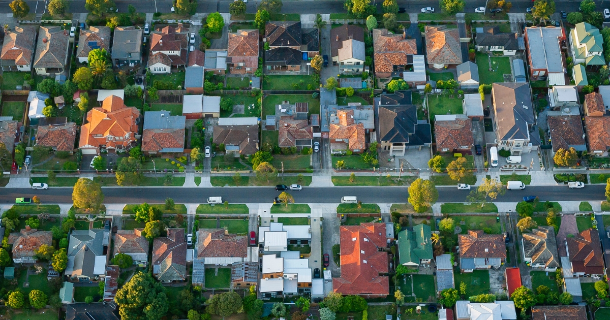
Suburb by suburb snapshot: Ballarat East


THE size of Ballarat East is approximately six square kilometres and has 24 parks covering nearly 12.7 per cent of total area.
The population in 2011 was 5308 and by the 2016 Census the population was 5612 showing a growth of 5.7 per cent in the area during that time.
Ballarat East was a municipality which began as a borough on 1 May 1857 and included the eastern half of the urban area of Ballarat.
The then municipal town included today’s suburbs of Black Hill, Ballarat North, Brown Hill, Ballarat East, Eureka, Golden Point, Canadian and Mount Pleasant.
The borough was made a town on 23 August 1872, and the town hall (now demolished) was in Barkly Street.
The adjoining Ballarat East free library building is on the Victorian heritage register.
Ballarat East was the area where alluvial gold was first discovered, it had a reputation for roistering behaviour, and the streets and roads were irregularly laid out, in some cases following old tracks or skirting mine works.
Today’s suburb of Ballarat East is an irregularly shaped area that can be traced on modern directories.
Ballarat East town was united with Ballarat City on 25 May 1921.
CoreLogic data indicates that the predominant age group in Ballarat East is 20-29 years with households in being primarily childless couples and are likely to be repaying $1000 – $1399 per month on mortgage repayments, and in general, people in Ballarat East work in a professional occupation.
In 2011, 60 per cent of the homes in Ballarat East were owner-occupied compared with 56.7 per cent in 2016.
Share


Related Articles
Three ways to make your first home more affordable
BUILDING a new home in regional Victoria has never been…
Unlocking Your First Home: What the First Home Scheme Changes Mean for You
FROM 1st October, big changes to the Federal Government’s First…