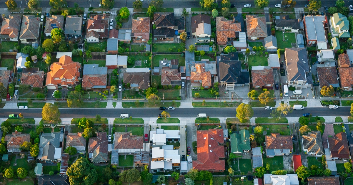
Town by town snapshot: Beaufort


The size of Beaufort for ABS data collection purposes is approximately 157.2 square kilometres and has three parks covering nearly 0.1 per cent of total area.
The population of Beaufort in 2011 was 1,406 people and by the 2016 Census the population was 1,536 showing a population growth of 9.2 per cent in the area during that time.
Beaufort, a rural town on the Western Highway, is 45 km north-west of Ballarat.
The Beaufort district was taken up for prosperous pastoral runs, and the Langhi Kal Kal run (1838) contained the future site of the Beaufort township.
In 1854 gold was discovered at Yam Holes Creek, immediately north of Beaufort and within a year the area was being extensively mined known as the Fiery Creek diggings.
A hastily built township followed, and surveyed township blocks were sold in March 1858. Beaufort was named after Sir Francis Beaufort (1774-1857), a British Rear Admiral and hydrographer. Bailliere’s Victorian gazetteer (1865) recorded Beaufort as having numerous alluvial mining operations in gullies in the ranges near Beaufort, as well as two sawmills, two breweries and several hotels.
The gazetteer noted the scenic attractions and numerous watercourses in the Mount Cole area, west of Beaufort.
By the beginning of the 1900s Beaufort’s population exceeded 1000 people, and at no time since then has it fallen below that figure.
The town’s notable structure is a cast iron band rotunda (1903) which is often photographed by travellers and is on the Register of the National Estate.
CoreLogic data indicates that the predominant age group in Beaufort is 60-69 years with households in Beaufort being primarily childless couples and are likely to be repaying $1,000 – $1,399 per month on mortgage repayments.
Share


Related Articles
Three ways to make your first home more affordable
BUILDING a new home in regional Victoria has never been…
Unlocking Your First Home: What the First Home Scheme Changes Mean for You
FROM 1st October, big changes to the Federal Government’s First…