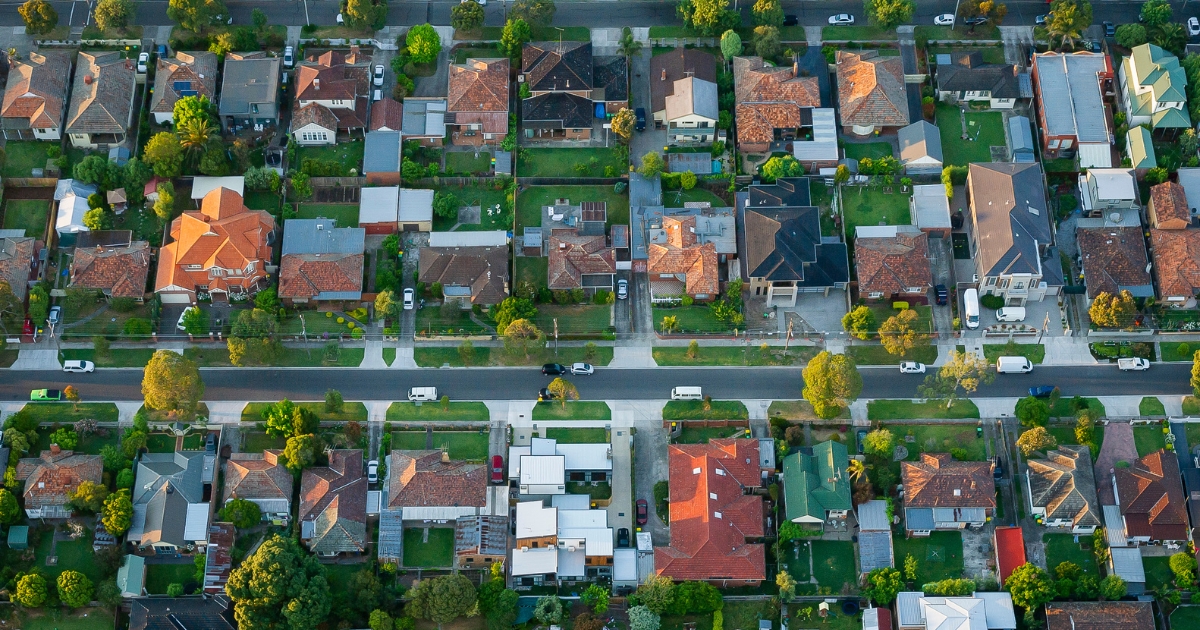
Town by town snapshot: Clunes


The size of Clunes is approximately 150.8 square kilometres and has nine parks covering nearly 5.1 per cent of total area.
The population of Clunes in 2011 was 1655 people and by the 2016 Census the population was 1720 showing a population growth of 3.9 per cent in the area during that time.
Clunes is a charming rural town between Maryborough and Creswick and is built in a hilly valley formed by the Creswick Creek offering various elevated points from which the town can be viewed.
Near the creek, and north-west of the town, a European settler, Donald Cameron, built a homestead. The area is now Cameron Reserve and he named his pastoral run Clunes, after his place of residence in Inverness, Scotland.
In 1851 one of Victoria’s first official gold discoveries occurred at Clunes, and a rush occurred for the alluvial gold along the Creswick Creek.
After a few years’ pause a larger scale operation was mounted to extract gold from the quartz reefs which ran north-south under the western side of the future township.
Clunes developed around the reefs and fragments of the town’s first commercial centre remain at the west end of Fraser Street.
Substantial civic buildings were constructed during the 1870s, including a hospital (1873), a mechanics’ institute (1874), town hall and courthouse (1873) and the Catholic church (1874). Queens Park, along the Creswick Creek, was laid out, beginning reclamation of a minepocked landscape that was planted with mature exotic trees by the turn of the century.
Clunes has an impressive array of parklands, a botanic gardens and trees planted along Creswick Creek.
Share


Related Articles
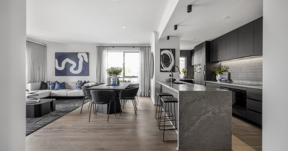
Three ways to make your first home more affordable
BUILDING a new home in regional Victoria has never been…
Unlocking Your First Home: What the First Home Scheme Changes Mean for You
FROM 1st October, big changes to the Federal Government’s First…