Town by town snapshot: Teesdale


The size of Teesdale is approximately 60.7 square kilometres with two parks covering nearly 0.7 per cent of total area.
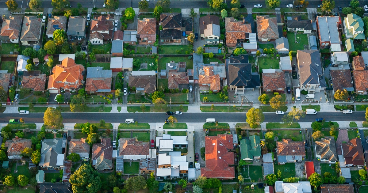
The population of Teesdale in 2011 was 1,479 people and by the 2016 Census the population was 1,732 showing a population growth of 17.1 per cent in the area during that time.
Teesdale is a rural town 27km north-east of Geelong and 10km east of Bannockburn and was thought to be the name of an outstation belonging T & S Learmonth, pastoralists, who occupied the Native Creek run in the mid-1830s.
In 1852 a town was surveyed on the Shelford-Bannockburn Road where it crosses Native Hut Creek. Settlement followed, as gold miners left mining and opted for steadier occupations.
A Presbyterian church and school were built in 1858 and within one or two decades there were also Methodist and Catholic churches, and a mechanics’ institute (1874-1969).
The combined store/hotel/post office (1852) had diversified into separate businesses by the 1860s.
Leigh Shire council (1864) had offices for its secretary and engineer at Teesdale until 1916, although the shire hall was at the more centrally
positioned at Warrambine, between Shelford and Rokewood.
Teesdale has a general store/post office, a public hall (built 1973 after the mechanics’ institute burnt down), a primary school and the historic Presbyterian church.
Share


Related Articles

Three ways to make your first home more affordable
BUILDING a new home in regional Victoria has never been…
Unlocking Your First Home: What the First Home Scheme Changes Mean for You
FROM 1st October, big changes to the Federal Government’s First…