Suburb by suburb snapshot – Rushworth

Rushworth Shire Hall.


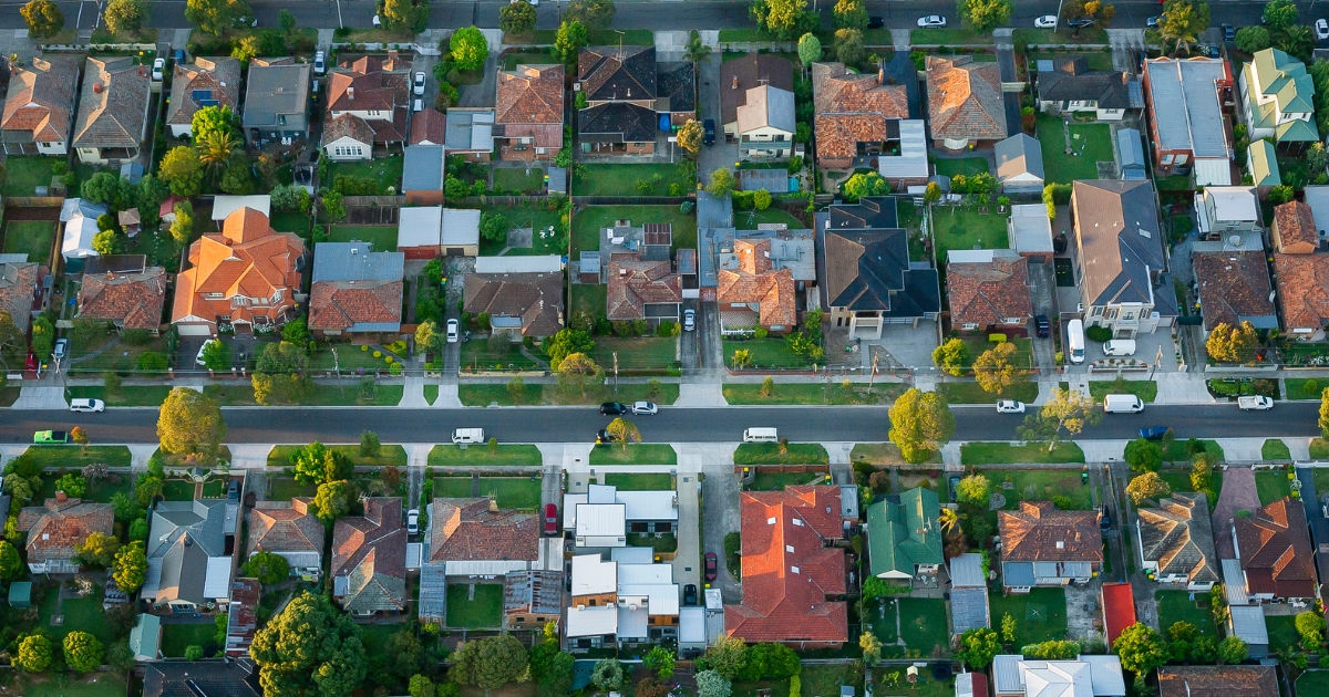
The size of Rushworth is approximately 179.7 square kilometres and has four parks covering nearly 0.5 per cent of total area.
The population of Rushworth in 2011 was 1380 people and by the 2016 Census it was 1320, showing a decline of 4.3 per cent in the area during that time.
Rushworth is a former gold mining town in northern Victoria, immediately west of the Waranga Basin reservoir.
The town is situated in hilly country which is mainly taken up by the Rushworth ironbark forest.
Before the discovery of gold, Rushworth was part of the Wanalta pastoral run, established in 1840, of 25,000 hectares, which included the freshwater Lake Cooper to the west.
The pastoral run lay on a route from Bendigo to the Ovens gold diggings in north-east Victoria.

In August 1853, some inquisitive diggers found gold at Rushworth, reportedly with the assistance of Aboriginal people.
A rush to the new field brought government supervision, the Assistant Commissioner was Richard ‘Orion’ Horne, one time poet and author who had come to Australia in 1852, and is credited with naming Rushworth.
On the voyage out his fellow passengers were the Rushworth family, and the ‘rush’ to the new gold field was ‘worthwhile’.
The Rushworth township site was surveyed in 1854, National and Presbyterian schools were opened in 1858 and 1859, and were replaced by a government school in 1872.
The school building was incorporated in Rushworth High School, and is on the Victorian Heritage Register.
In 1865 Rushworth had the Waranga Shire hall, a mechanics’ institute in the hall, a court house, three hotels, and branches of a bank and an insurance company.
Although the Rushworth goldfield is a relatively small and isolated one, it has had 26 mines and it operated continuously until the 1900s.
During World War Two, the Waranga district held most of Victoria’s internment and prisoner-of-war camps with two camps a short distance north of Rushworth
Rushworth missed being included on the railway line from Seymour to Shepparton (1880), and it took 10 years of agitation for a branch line from Murchison to Rushworth and another 24 years before the line was extended westwards to the agricultural hinterland at Colbinabbin.
CoreLogic data shows that the predominant age group in Rushworth is 60-69 years with households being primarily childless couples and are likely to be repaying $1000 – $1399 per month on mortgages.
In general, people in Rushworth work in a labourer occupation.
In 2011, 79 per cent of the homes in Rushworth were owner-occupied compared with 77.9 per cent in 2016.
TITBIT:
In August 1853, some inquisitive gold diggers found gold at Rushworth, reportedly with the assistance of locals.
Population: 1335
Male: 50.5%
Female: 49.5%
Median age: 54
5-year population change: -4.3
House median value: $386,000
Change in Median Price: (5yrs) is 71.4%
Median asking rent per week: $240
Average length of ownership: 8 years
Owner occupiers: 83%
Renters: 17%
House median sale price:
March 2022: $321,500
March 2021: $275,000
March 2020: $220,000
March 2019: $220,000
March 2018: $186,500
House sales per annum:
Period ending March 2022: 32
Period ending March 2021: 35
Land median sale price:
March 2022: N/A
March 2021: N/A
Land sales per annum:
Period ending March 2022: 4
Period ending March 2021: 3
Share


Related Articles
Three ways to make your first home more affordable
BUILDING a new home in regional Victoria has never been…
Unlocking Your First Home: What the First Home Scheme Changes Mean for You
FROM 1st October, big changes to the Federal Government’s First…