Town by Town Snapshot: Torquay

This four-bedroom Torquay home built in 2015 sold recently, exceeding the median house price for the area.


THE size of Torquay is about 34.5 square kilometres excluding Jan Juc. The population was recorded at 10,141 in 2011 and by the 2016 Census the population was 13,268 showing a population growth of 30.8 per cent in the area during that time.
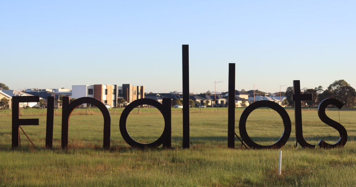
Significant growth since the last Census has pushed the population towards 17,000 which has led to pushback from parts of the community, supported by some politicians, in what has seen future residential development caught up in a game of political football.
The lever to curtail further development in Torquay has been the Surf Coast Distinctive Area and Landscape project, led by the Department of Environment, Land, Water and Planning, which was declared in September under the Planning and Environment Act 1987.
Now that the Surf Coast has been declared, work has begun to develop a Statement of Planning Policy for the area by the department.
The Statement of Planning Policy proposes to include a 50-year vision and provide the tool to designate long term, protected settlement boundaries.
This process, and the outcome, is sure to generate some argy-bargy as it was previous governments and planning authorities that directed developers into areas such as Spring Creek through long-held policy direction, and then backed it in in 2010 by shifting of the town boundary to one kilometer west of Duffields Road.
Torquay’s population went from 1,100 in 1961 to 2,900 in 1981 and 4,900 in 1991.
CoreLogic data indicates that the predominant age group in Torquay is 0-9 years with households in Torquay being primarily couples with children and are likely to be repaying $1,800-$2,399 per month on mortgage repayments, and in general, people in Torquay work in a professional occupation.
In 2011, 72 per cent of the homes in Torquay were owner-occupied compared with 73.4 per per cent in 2016.
Share


Related Articles
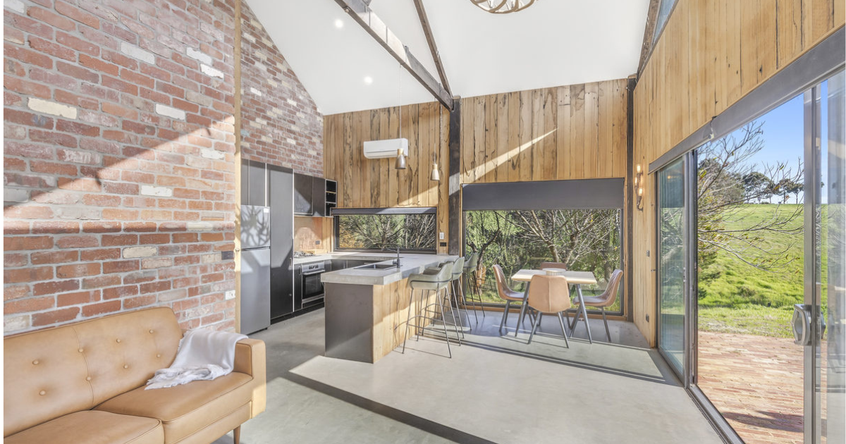
Untapped commercial agricultural opportunity on the Bellarine
A 10-acre Bellarine property combining a modern barn, large commercial…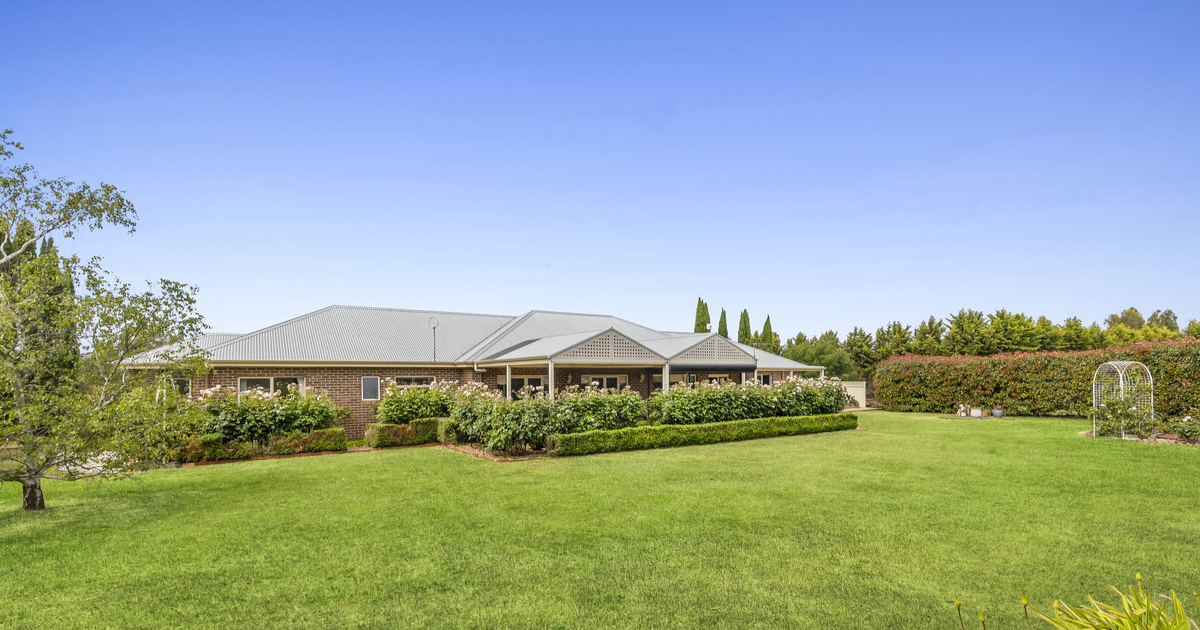
An outstanding country estate
CHARLES Stewart has listed a manageable-sized rural oasis in the…