Digital maps reveal fire impact hotspots
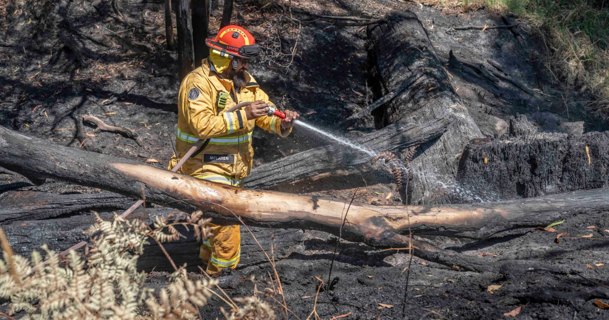
Last month's bushfires have left a vast footprint, with tens of thousands of hectares burned across multiple communities. Photo: SUPPLIED


THE Corangamite Catchment Management Authority (CMA) has turned to detailed digital mapping to understand the environmental toll of recent bushfires across the region.
With fires still burning across parts of Victoria, some of which have only been recently contained, the authority says one of its biggest challenges is working out exactly what has been damaged, and how severely.
To address this, Corangamite CMA has combined layers of spatial information to build a detailed picture of the fire’s footprint.
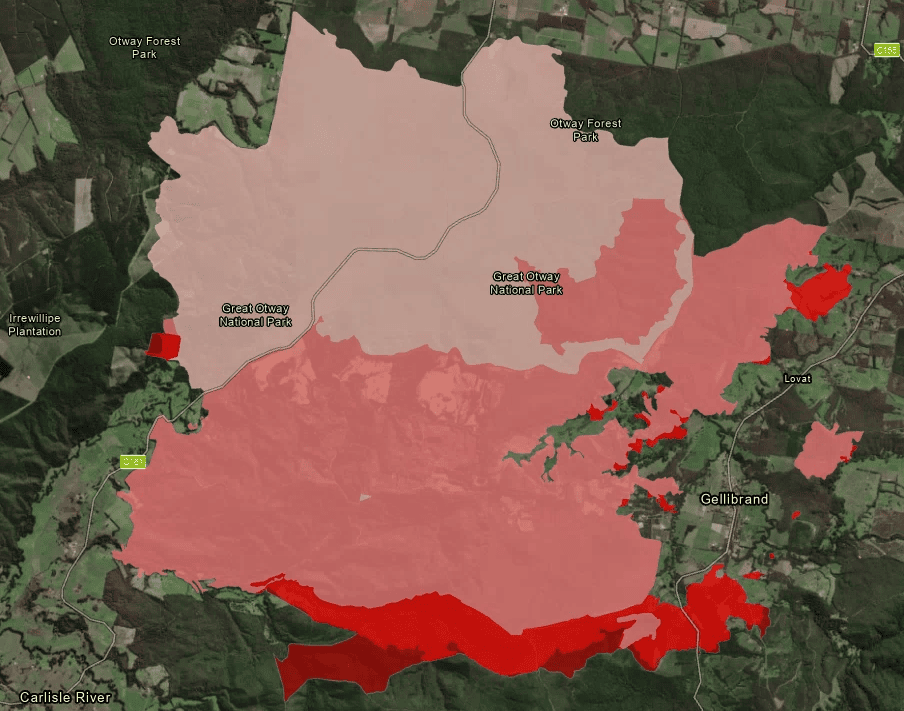
Fire extent data from the Department of Energy, Environment and Climate Action (DEECA) and VicEmergency has been overlaid with more than 25 years of the authority’s environmental works records, along with mapped locations of significant native plants and animals.
“Fires have occurred in several areas across our region, including the Greater Otways area (Carlisle River, Kennedys Creek and Cape Otway), Lismore, Streatham and Mt Mercer,” Corangamite CMA’s David Windle said.
“The mapping assists with rapid preliminary desktop estimates of potential impacted assets by overlaying the fire extent on a historical record of funded landscape restoration works and recorded threatened species locations.”
He said the real-time fire extent mapping is based on a collation of data from state emergency agencies across the country.
In the Corangamite CMA region, preliminary assessments suggest more than 22,000 hectares have been burned, including more than 11 hectares in the Otway Ranges.
It is estimated more than 360km of waterways and 88 hectares of wetlands have been impacted.
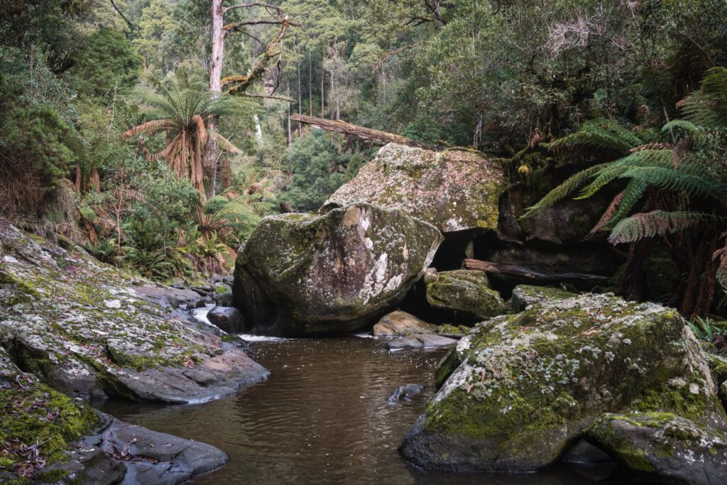
Water quality decline from ash and sediment, riverbank erosion, habitat fragmentation and impacts to farm productivity are among the authority’s immediate concerns.
Corangamite CMA has worked on environmental projects across the region alongside farmers, landcare and community groups for more than two decades, and says a number of these sites sit within the fire zone.
Land and catchment health project officer, Gene Gardiner, said the damage was confronting.
“This is a devastating incident,” Gardiner said. “It’s upsetting to see river restoration projects damaged, especially knowing the years of hard work and dedication that locals have put into them.
“Having worked closely with these landholders, I understand how much these projects mean to them and to our community.”
The authority has begun contacting affected landholders and says its role includes linking property owners with immediate support and assessing environmental risks such as erosion and waterway impacts.
Farmers and property owners affected by the fires are encouraged to contact the Corangamite CMA to help with these assessments and to arrange post-fire waterway protection works.
For support, email [email protected] or phone 1800 002 262.
Share


Related Articles
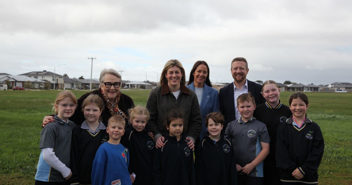
Liberals defend safety of 110kmh freeway plan
The Liberals have dismissed concerns their proposed 110kmh speed limit…
Teachers walk off the job for second time as AEU pushes government for deal
Victorian public school teachers will strike for the second time…