New study maps stormwater flood risk
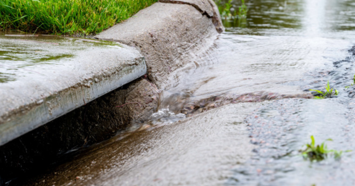
Using rainfall data from the severe storm that battered the region in January 2022 and other storm scenarios, flood hazard modelling has been completed for a variety situations in Angelsea and Aireys Inlet. Photo: SUPPLIED


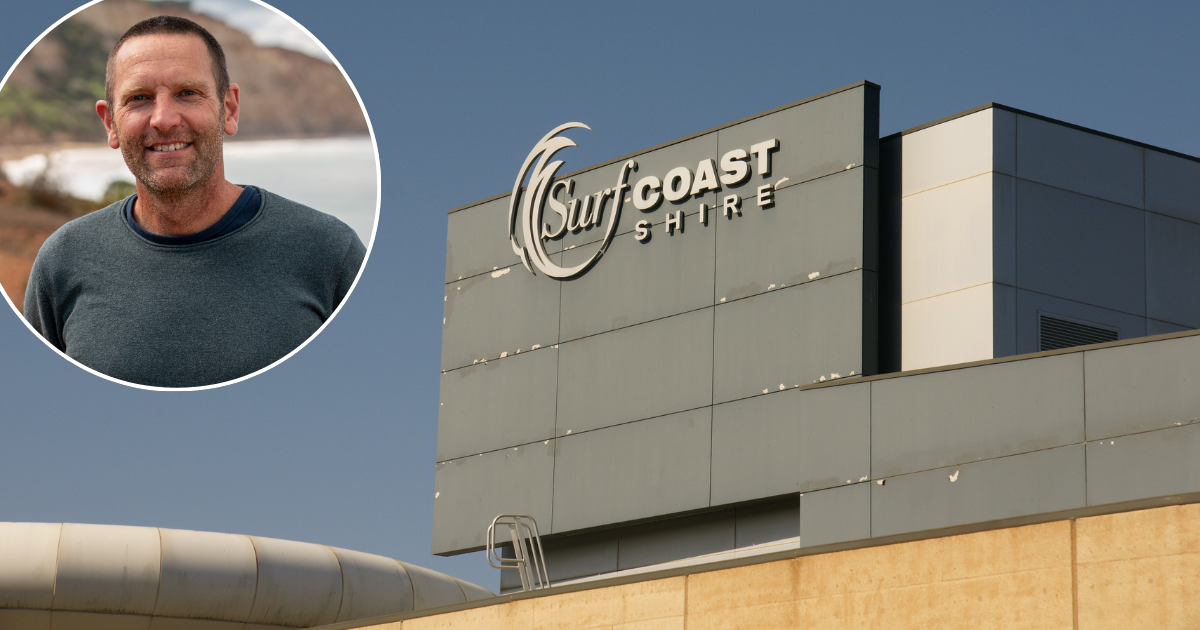
A FIRST of its kind study has given the Surf Coast Shire insight into the stormwater network and associated flood risk in the region.
Using rainfall data from the severe storm that battered the region in January 2022 and other storm scenarios, flood hazard modelling has been completed for a variety situations, including rain falling from 30 minutes to 12 hours, in Angelsea and Aireys Inlet.
This modelling will be used to identify stormwater issues, plan for infrastructure upgrades and explore mitigation options.
While the study will not result in any changes to the planning scheme, understanding the flood patterns and risks will support the decision-making of both the council and property owners in relation to development, and will improve emergency management planning and response.
Surf Coast Shire mayor Mike Bodsworth said Anglesea and Aireys Inlet were chosen for the study because of their historical stormwater issues, with more towns to be included the future.
“Many locals would recall the severe storm in January 2022 which resulted in flooding of properties on the drainable line between the Anglesea Golf Course and its outlet at the Anglesea River. There was also flooding of properties in Aireys.
“While the mapping isn’t able to tell us precisely what will happen in a severe rainfall event, it shows which areas are more prone or less prone to flooding caused by stormwater. This allows us to be proactive and plan, rather than respond to issues as they arise.”
The modelling is concentrated around several focus areas, or “key locations” across the two townships, including Angelsea’s McMillan Street, the Anglesea Retirement Village, Anglesea Golf Club and Aireys Inlet’s Fraser Drive, Anderson Street and Alice Road.
The study will feed into the council’s other flood risk projects, such as the Painkalac Creek Adaptation and Mitigation Study in Aireys Inlet and the upcoming Anglesea River Flood Study.
“The Anglesea and Aireys Inlet Stormwater Study will enable us to pursue funding opportunities for mitigation options, such as stormwater network upgrades, further work with emergency services, and potential building floor-level advice for residents,” Cr Bodsworth said.
“We’re experiencing more extreme weather events that are impacting our assets, including drains.
“As a council, we have a responsibility to plan for climate change risks, which includes exploring how we can invest in assets so that they can withstand severe weather events in the future.”
For more information and to view the full study, head to yoursay.surfcoast.vic.gov.au/aireys-inlet-climate-planning/stormwater-study
Share


Related Articles

Tourism spend hits record $43.7 billion in Victoria
VICTORIA has recorded its strongest year on record for tourism…
Wildlife carers urge care this spring
WITH Spring now in full swing across Australia, so is…