Final Surf Coast SPP largely unchanged from draft

The red dotted line defines the protected settlement boundary around Torquay and Jan Juc in the final Surf Coast Statement of Planning Policy. Photo: SUPPLIED


THE final Statement of Planning Policy (SPP) for the Surf Coast has been produced, and it is largely the same as the draft version released in November 2020, with the exception of definitively ruling the Spring Creek valley out of any urban development.
Scheduled to be released today (Thursday, April 14), the SPP is the end result of the Surf Coast Distinctive Area and Landscape (DAL) program and sets out a 50-year vision and land use strategies.
The declared land within the DAL focuses on Torquay and Jan Juc and extends along the coastline from the eastern edge of the Great Otway National Park to Breamlea Flora and Fauna Reserve, but also stretches as far as Bellbrae, Freshwater Creek, and into Mount Duneed.
The final SPP’s vision is identical to the draft: “By 2070, our vision for the Surf Coast declared area is that the Wadawurrung, governments, public land managers, businesses, residents and visitors work together to ensure the declared area’s unique values and distinctive attributes — the things people love about the area — are conserved, protected and enhanced and are not degraded over time.”
There are nine policy domains, up from eight in the draft:
- Aboriginal cultural heritage – Wadawurrung Country
- Environment and biodiversity
- Landscapes
- Environmental risks and resilience
- Water quality and security
- Historic heritage
- Tourism, agriculture and natural resources
- Strategic infrastructure, and
- Settlements.
Water quality and security is the new entry, with one of the final SPP’s objectives being to “prioritise the conservation and health of the declared area’s water catchments to protect ecological systems and to ensure a sustainable water supply”.
The three significant landscapes are the same:
- Bells Beach to Point Addis, which is of national significance
- Torquay Coast, Coastal Saltmarsh and Woodland, which is of state significance, and
- Mount Duneed Plain and Surrounds, which is of regional significance.
A map in the final SPP classifies the settlements within the DAL as areas for substantial, incremental or minimal change.
The Torquay Town Centre between Zeally Bay Road and Anderson Street is marked for substantial change, with building heights to generally be two to three storeys but “buildings of up to four storeys may occur in locations where development can be designed to transition sensitively to street edges, where it does not overshadow the public realm, and where long range views of the coast from existing areas can be maintained”.
The Messmate Road future settlement area remains on the map, though its northern border is an uneven line rather than the straight line in the draft SPP.
The draft SPP had a square area north of South Beach Road outside the protected settlement boundary designated as the Torquay North East Investigation Area, with the caveat that “any future development of this area must guarantee that no stormwater overflow emanates from the area or is discharged into the Breamlea Flora and Fauna Reserve and/or surrounding developments”, but Torquay North East is entirely absent from the final SPP.
Share


Related Articles
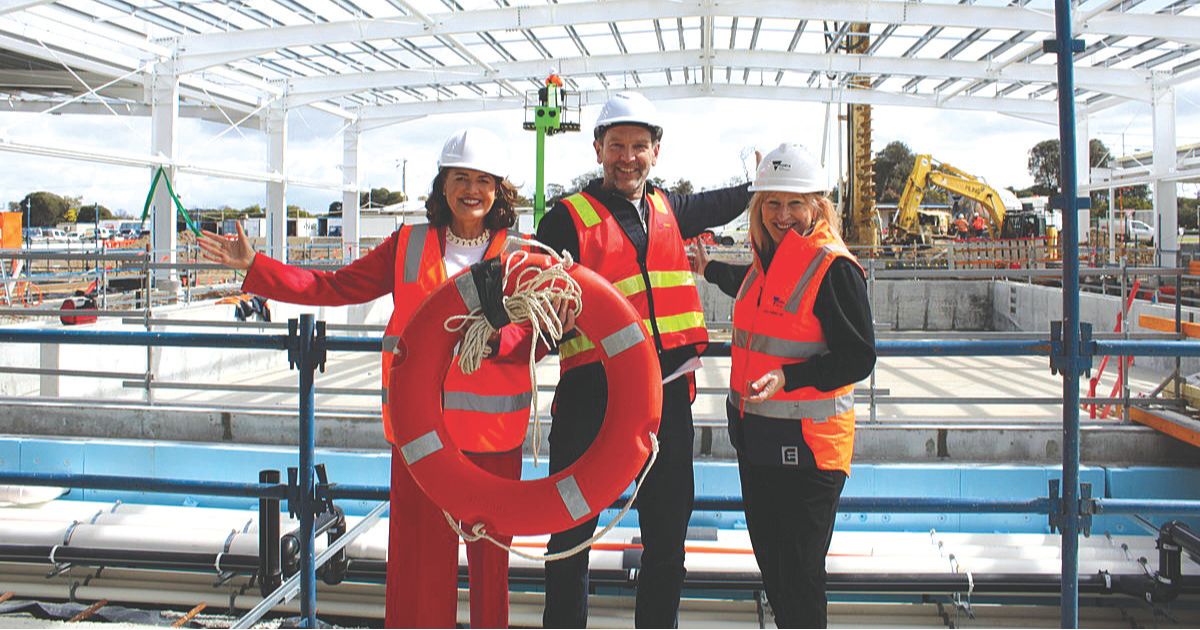
Council signs external operator for new aquatic hub
BELGRAVIA Health and Leisure Group will operate the new Wurdi…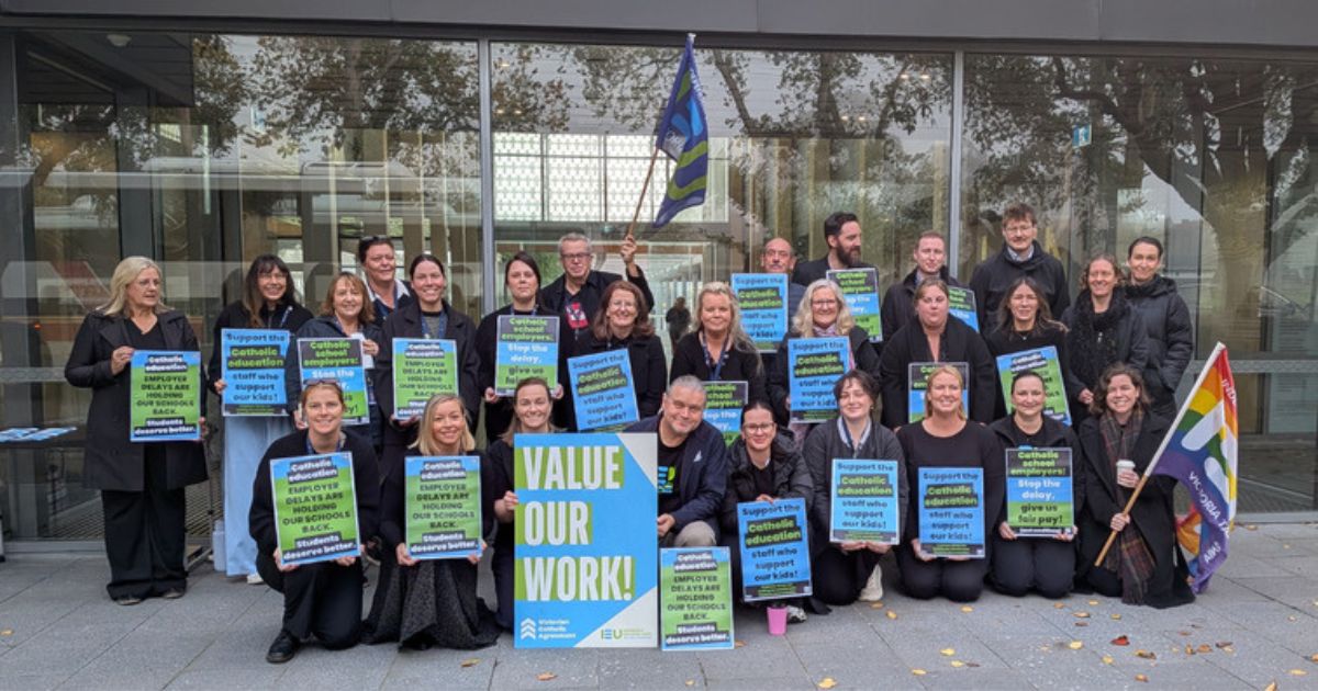
Public and Catholic school teachers continue bargaining into term 3
VICTORIAN public and Catholic school teachers are continuing their fight…