Trail details Torquay’s history
A COMMUNITY-driven project is inviting people to take a walk around Torquay and learn from 28 historical markers along the way.
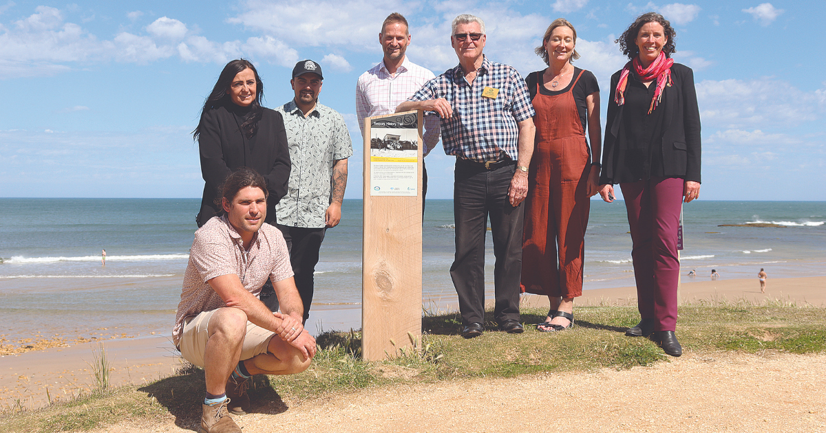
Last week, Torquay and District Historical Society officially launched the Torquay History Walking Trail.
The project was the idea of society president David Marshall four years ago, and initially gained support from the Surf Coast Shire, the then-Great Ocean Road Coast Committee and Torquay Community Enterprise.
“I attended a Royal Historical Society convention in Euroa and saw signs on all of their historical buildings,” Mr Marshall said.
“I came back and thought that Torquay has a very good history, but not many people know about it unless they come to the historical society.
“We did some research and proposed signs around old Torquay with good photographs and text that share information about the historic sites – some that are still there and some that are no longer standing.”
The trail was launched with a Welcome to Country and smoking ceremony by Wadawurrung traditional owner Corrina Eccles and her son Billy-Jay at the fifth sign on the trail, located at the mouth of Spring Creek and titled “Gobata Wadawurrung Dja Ngubitj Warri: take care of Wadawurrung Country and Waters”.
Guests then took a short walk uphill to the sixth sign, which is located next to and describes the Torquay SLSC clubhouse, where Mr Marshall gave a short talk about the building’s history, including how poles dug into the beach to prevent Japanese tanks landing during World War II were repurposed after the war as foundations for the building.
“I’m looking forward to summertime when tourists are back and can see the signs,” Mr Marshall said.
“I’m always wandering around, so it will be great to see people stopping to look at them.”

Shire mayor Libby Stapleton said the council wanted to see broad recognition and respect for the Traditional Owners of the lands on which Surf Coast Shire was now situated.
“We’re pleased to see every sign along the trail include an acknowledgment to Country.”
She congratulated the historical society on the trail, which is its biggest project since the society’s foundation in 2000.
“The trail is going to benefit so many people – both locals and visitors,” she said.
“I encourage people to visit the trail and soak up all of the interesting snippets of information about this iconic town through these signs, most of which signify Torquay’s post-settler history.”
The shire supported the trail through sign development and placement, project management and its Small Grants program.
The project also received financial contributions from Torquay Community Enterprise, Great Ocean Road Coast and Parks Authority, Rip Curl and Quiksilver (which are both recognised on the trail).
Torquay and District Historical Society made a financial contribution to the project and provided in-kind hours through planning, research and delivery.
The Torquay History Walking Trail winds its way from Spring Creek and Point Danger, to The Esplanade, CBD and Taylor Park.
Hard copies of the trail brochure – which includes a map of all the marker locations – are available from the History House in Price Street, Council office in Merrijig Drive, Torquay Library and Torquay Visitor Information Centre. The brochure can be downloaded from the Torquay Historical Society’s website.


