Suburb by suburb snapshot: Grovedale


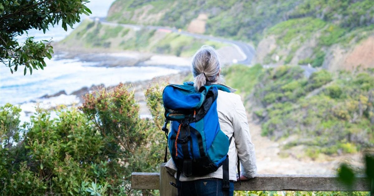
The size of Grovedale is approximately seven square kilometres and has four parks covering nearly 2.2 per cent of total area.
The population of Grovedale in 2011 was 14,153 people and by the 2016 Census the population was 14,314 showing a population growth of 1.1 per cent in the area during that time.
Grovedale is named after a property of about 76 hectares acquired by Alexander Pennell in 1847, just south of Waurn Ponds Creek.
Originally the place was named Germantown, which arose from several families of Lutheran German origin who arrived at Corio Bay in 1849.
By the mid-1860s there were about 70 families of German origin settled there, and there were two hotels, two flour mills, two tanneries and four wool washing establishments.
In September 1915, after the outbreak of World War I, the South Barwon Council changed the name to Grovedale.
Grovedale continued to be an agricultural district until the mid-1960s when residential expansion from neighbouring Belmont began and in 1970 the estimated population was 1,200 people, and by 1980 the population had reached 5000.
Grovedale’s first civic amenities were first distributed along the road to Torquay, now the Surf Coast Highway, including the landmark Grovedale Hotel which was originally established in 1859.
CoreLogic data indicates that the predominant age group in Grovedale is 20-29 years with households in Grovedale being primarily childless couples and are likely to be repaying $1,400 – $1,799 per month on mortgage repayments, and in general, people in Grovedale work in a professional occupation.
In 2011, 74.1 per cent of the homes in Grovedale were owner-occupied compared with 70.5 per cent in 2016.
Share


Related Articles

Agent Profile – Marcus Falconer
Marcus Falconer Director, Jellis Craig Geelong Experienced and accomplished, Jellis…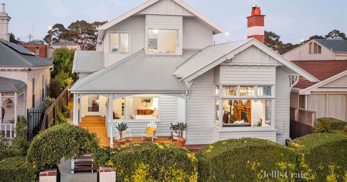
Front row for coveted bayside lifestyle
24 Western Beach Road, Geelong Wake up to picture-perfect bay…