Town by Town Snapshot – Apollo Bay


The size of Apollo Bay is about 87.1sqkm, and has 18 parks covering nearly 52.7 per cent of total area.
The population of Apollo Bay in 2016 was 1,598 people. By 2021 the population was 1,790 showing a population growth of 12.0 per cent in the area during that time.
Apollo Bay is a coastal township and holiday resort on the Great Ocean Road between Lorne and Cape Otway with a captivating bay that faces east which is further protected by a breakwater.
Critical repairs to Apollo Bay’s harbour structures, including the rock wall, have been undertaken recently to ensure the best outcome for this asset.
The government committed $2.8 million works to deliver long-lasting protection for the harbour and enhanced safety for locals and visitors.
The harbour is home to commercial fishing and recreational boating and is a major drawcard for locals and tourists as a key destination along the scenic Great Ocean Road.
Apollo Bay is fast becoming a popular getaway destination for those looking for a coastal escape and is being marketed as a town to visit in any season with so much on offer.
After a slump during COVID, visitors and holidaymakers have returned with gusto as they are once again able to hit the waters of the Southern Ocean, wander the coast and explore petrified rainforests full of waterfalls, ferns and crystal-clear streams.
Swim, dive, surf and paddle out in the pristine coastal waters, take a dip at the beach, climb aboard a surfboard or kayak, and get up close to local seal colonies, Apollo Bay has it all.
Anglers have plenty on offer too, with a deep-sea fishing adventure at the top of the list.
For the landlubbers, there are sunset beach rides on horseback, gift shops, galleries and teahouses along with countless culinary delights to choose from.
Fishing is an important local industry, so seafood is always on the menu at the local cafes and restaurants.
The town’s origin’s began when in 1846 the schooner Apollo sheltered in the bay on the way from Port Phillip to Portland.
A few years after that, timber cutters began taking timber from Apollo Bay and Lorne, and by 1853 the coast had been surveyed in detail and there were several timber camps.
A township proposed to be named Middleton, was surveyed on Apollo Bay.
The combination of a relatively sheltered bay, the best of the limited flat land along the coast and the Cawood settlement finally stimulated the sale of town lots (renamed as Krambruk) in 1877 which could only be accessed by coastal vessel or by pack track over the ranges.
A butter factory was opened in 1904 and in 1914 a bush nursing centre was opened.
In 1936, a telephone cable was laid linking Apollo Bay, King Island and Tasmania.
Households in Apollo Bay are primarily childless couples and are likely to be repaying $1,800 to $2,399 per month on mortgage repayments. In general, people in Apollo Bay work in a manager’s occupation.
In 2021, 67.80 per cent of the homes in Apollo Bay were owner-occupied compared with 64.50 per cent in 2016.
Quick Stats
Population: 1,790
Male: 50.2%
Female: 49.8%
5 Year Population Change: 11.2%
Median House Value: $992,316
Change in Median House Price (5 Years): 11.16 per cent
Median Asking Rent Per Week: $550
Average Length of Ownership (Years): 13.0
Median House Price Over Time:
May 2025 $992,316
May 2024 $1,054,740
May 2023 $1,081,502
May 2022 $1,185,797
May 2021 $892,741
House Sales (12 Months): 35
Land Median Sale Price: $423,750
Land Sales (12 Months): 3
Share


Related Articles
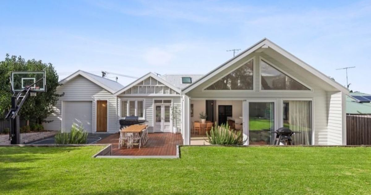
Old Torquay, beautifully reimagined: 1 Varydale Ave, Torquay
STEP inside this beautifully transformed Old Torquay sanctuary, where soaring…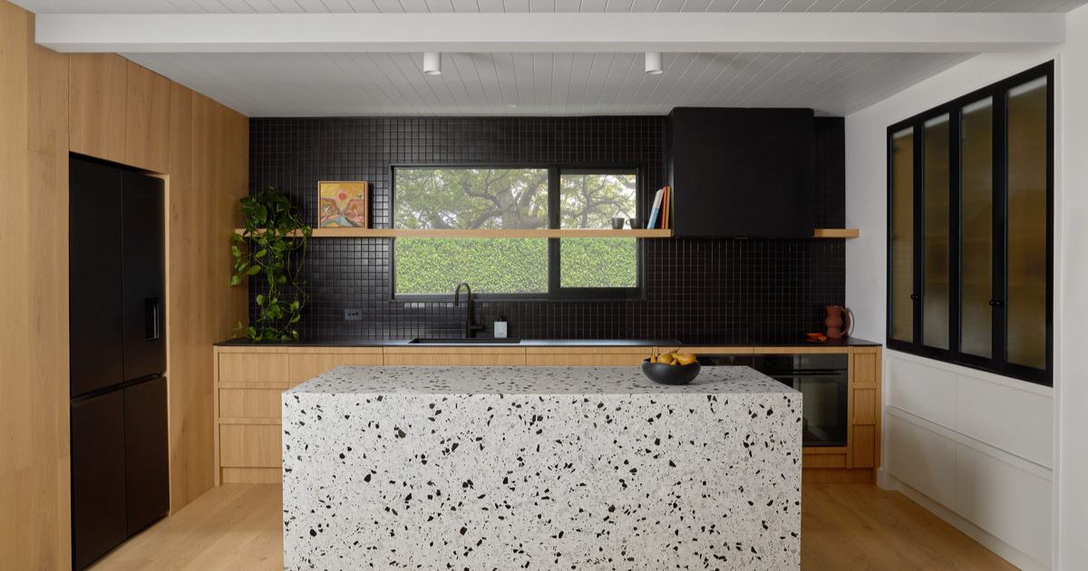
Bold renovation takes top kitchen award
A kitchen renovation that blends warm timber, bold terrazzo and…