New cameras and flood-warning equipment to support community
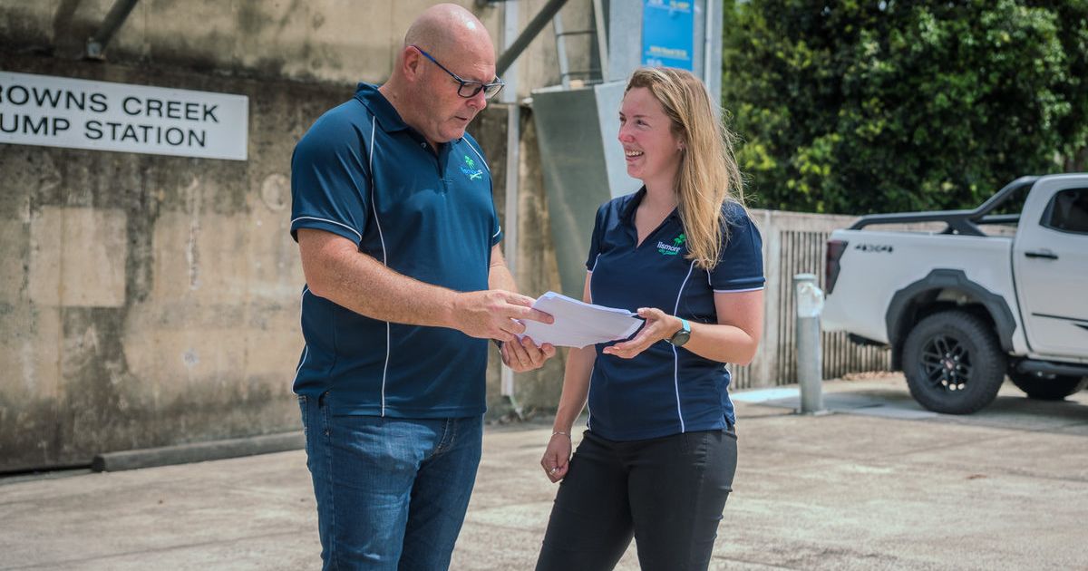
Lismore mayor Steve Krieg with the council's emergency management coordinator Jessica Anderson. They provided the community with information on new cameras and flood-ready devices. Photo: SUPPLIED


LISMORE City Council has installed new flood-warning infrastructure, including three cameras, digital displays and five river and rain gauges to support the community during future disasters.
Since 2022, the council has installed solar powered, digital advanced flood warning signs with monitoring cameras at key locations
Five new river and rain gauges have also been installed, including at Nimbin, Keerong and South Lismore
Ten gauges in the Wilsons River catchment have been transferred to the Bureau of Meteorology.
The Browns Creek pump station overtopping digital display is now live on the council’s disaster dashboard, with the community able to monitor future events in real time.
The council provided the latest updates at its flood-ready events this week, with the NSW Reconstruction Authority, local SES and Red Cross part of the program.
It explained how the new equipment works and what practical steps are being taken to prepare for future disasters.
“Understanding your flood risk is crucial for effective planning. Knowing how floods may affect your property helps you make informed decisions before, during and after a flood,” mayor Steve Krieg said.
“As well as a new SES video showing how the water flows through our catchment during a flood, there was also a special storytime session for young children to help them understand floods and minimise trauma.”
The sessions were held after a recent council survey found about 82 per cent of residents in the local government area were concerned about future flood events.
People attending the flood-ready events were also given the latest information on emergency apps and other resources, including the council’s individual Property Flood Certificates for those living in urban and southern areas of the LGA.
The certificates provide specific details for individual addresses, including natural ground levels and building floor levels, along with definitions for commonly used flood terms.
Share


Related Articles

No sale, no silence: Bangalow community rejects Norths Collective’s $2 million Bowlo buyback offer
THE Bangalow community has rejected an offer from Norths Collective…
Local health, education projects to receive multi-million-dollar injection through state budget
New ambulance stations, expanded maternity services and ongoing flood recovery…