Visual tool highlights scope of river and land restoration work
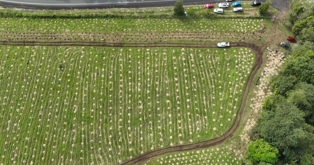
A new interactive webpage highlights on-ground works from Rous County Council. Photo: SUPPLIED


ROUS County Council is delivering projects to restore ecosystems, improve water quality and build resilience to extreme events through the Northern Rivers Watershed Initiative.
People can see the scope of the work with a new interactive webpage, which highlights on-ground works through the ArcGIS StoryMaps system.
The work includes riparian restoration and revegetation, landscape rehydration, redesigned floodplain drainage, and soil health improvements.
The project has received $5 million from the state government for long-term works to improve river health in the Richmond, Evans, Brunswick and Tweed catchments.
Catchment manager Anthony Acret said the StoryMap provides the community with a visual tool to see how the initiative is making a difference.
“This is about showing people where projects are happening and the impact they will have – from slowing flows and stabilising eroded
banks to improving soil health on farms,” he said. “It’s a program that’s as much about people as it is about rivers.”
The project runs in partnership with six local councils, North Coast Local Land Services, the Casino Food Co-op, Landcare groups and other community partners.
The StoryMap is the first in a series that will be released as more projects roll out, giving the community a window into the ongoing work to restore the region’s rivers and landscapes.
“The Northern Rivers Watershed Initiative is about working together to restore our rivers and landscapes,” Rous general manager Phillip Rudd said. “By investing in natural systems – from riverbank planting to soil health monitoring – we’re helping to enhance water security, biodiversity and communities in the face of a changing climate.”
The StoryMap can be viewed at storymaps.arcgis.com/stories/6c1473c7d7094460aa94e2a81ec8cf5a
Share


Related Articles
No sale, no silence: Bangalow community rejects Norths Collective’s $2 million Bowlo buyback offer
THE Bangalow community has rejected an offer from Norths Collective…
Local health, education projects to receive multi-million-dollar injection through state budget
New ambulance stations, expanded maternity services and ongoing flood recovery…