Suburb by suburb snapshot: Newington


The size of Newington is approximately 2.4 square kilometres with three parks covering nearly 58.8 per cent of total area.
The population of Newington in 2011 was 1,887 people and by the 2016 Census the population was 1,889 showing a population growth of 0.1 per cent in the area during that time.
Newington is immediately west of Ballarat central, south of Lake Wendouree and was gazetted as a place name in 1998.
The western half of Newington is open space forming Victoria Park, an area of 130 hectares which was first planted with ornamental trees on Arbor Day, 1890.
It includes several ovals, mown grasslands, pine plantations and patches of remnant indigenous vegetation.
Newington’s northern boundary is the old Western Highway (Sturt Street) and two of its prestigious addresses in Sturt Street are the Uniting (formerly Presbyterian) church’s Clarendon College (1864) and the Catholic St Patrick’s College (1893).
The Urquhart Park State primary school dates from an earlier building (1878) at the corner of Urquhart and Windermere Streets about 1km east of the present school.
CoreLogic data indicates that the predominant age group in Newington is 10-19 years with households in Newington being primarily couples with children and are likely to be repaying $1,000 – $1,399 per month on mortgage repayments, and in general, people in Newington work in professional occupations.
In 2011, 67.7 per cent of the homes in Newington were owner-occupied compared with 68.7 per cent in 2016.
Share


Related Articles
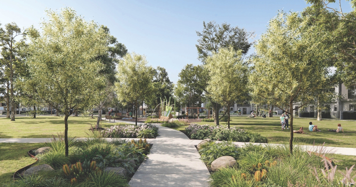
New development announced for Corio
Developer Cedar Woods Properties has announced a new 400-home project…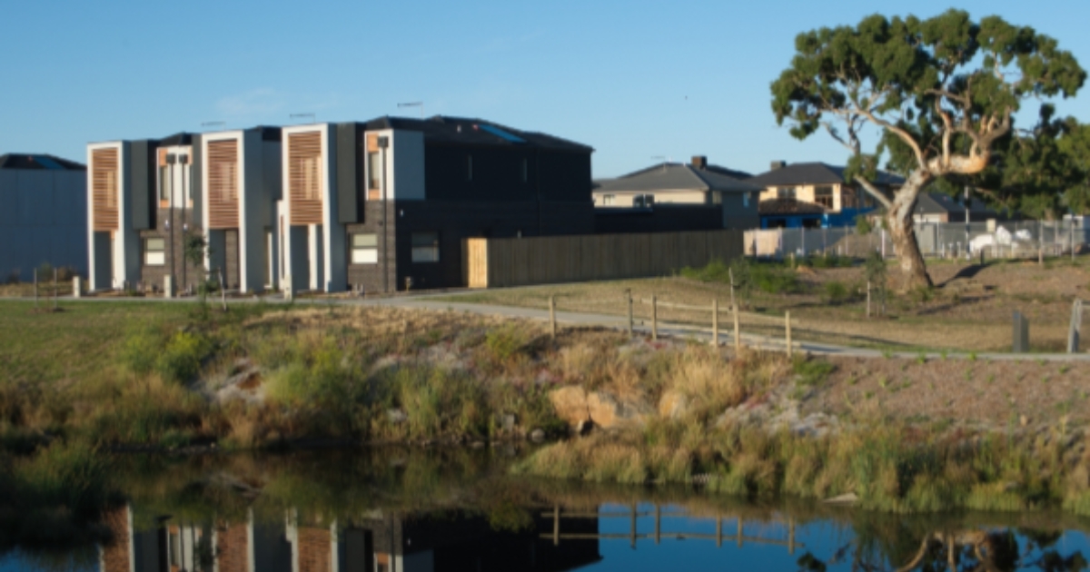
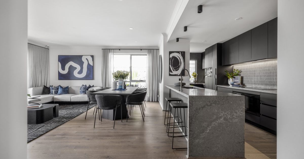
Townhouse Living: Is it the right fit for your family?
As one of Australia’s most high-activity real estate markets, townhouses…