Town by town snapshot: Mount Duneed


The size of Mount Duneed is approximately 46.2 square kilometres and currently has one park. The population of Mount Duneed in 2011 was 622 people and by the 2016 Census the population was 1,574 showing a population growth of 153.1 percent in the area during that time.
Mount Duneed was originally a rural locality 10 kilometres south of central Geelong.
The mount is west of the State school in Williams Road, and has radio masts on its slopes and a pistol club within the old quarry site.
The Mount Duneed recreation reserve encloses the mount which is a volcanic cone and the name derives from the Gaelic word for a circular mound. In 1855-60 the Mount Duneed area was subdivided for small farms and the heritage listed pre-fabricated cottage in Mount Duneed Road is thought to date from 1855.
A joint Anglican and Presbyterian church opened in 1861 and a school opened the next year. A flour mill also began operation in the 1860s, continuing until 1883.
Mount Duneed’s government school opened in 1878 and has continued as the district’s school. In 1994 the Connewarre and Freshwater schools amalgamated with it, and the regional facility had an enrolment of 196 in 2014.
In addition to the 1855 cottage there is an historic cemetery next to the school and farm ruins in Ghazeepore Road, also dating from the 1850s.
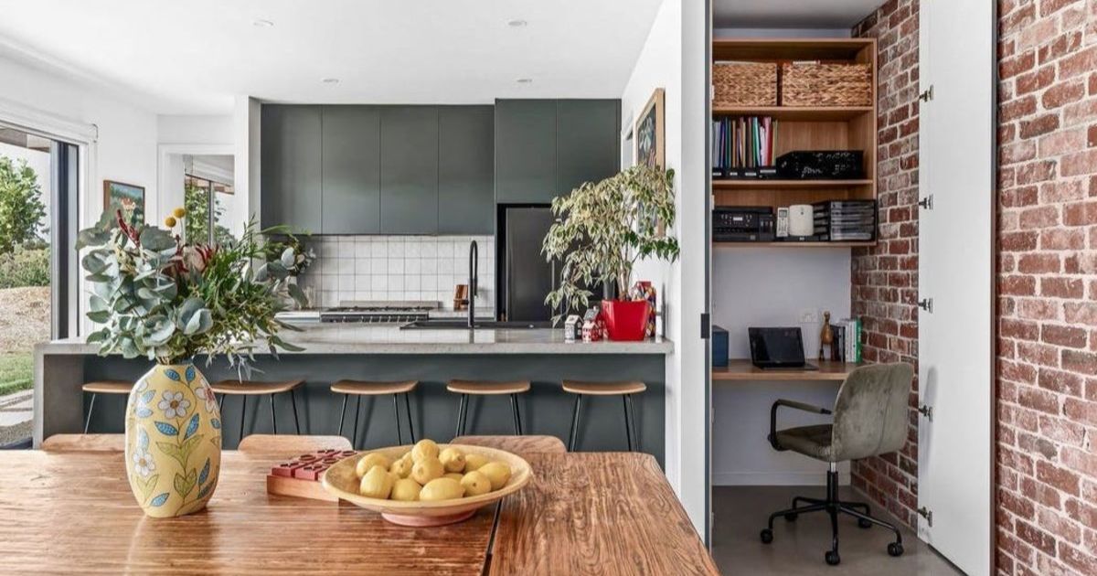
Mount Duneed now forms part of the Armstrong Creek Growth corridor which has seen some exceptional growth in recent years.
Share


Related Articles

Long-running real estate agency begins new chapter
ONE of Torquay’s longest-running real estate agencies has entered a…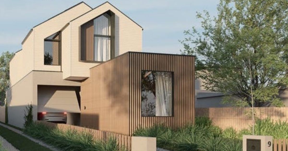
Four bedroom gem, now under construction
FLAT, gravel, quiet, no through-street with walking access across the…